Mountain Hiking TrailDemanding
Wisshorn path (No. 32)
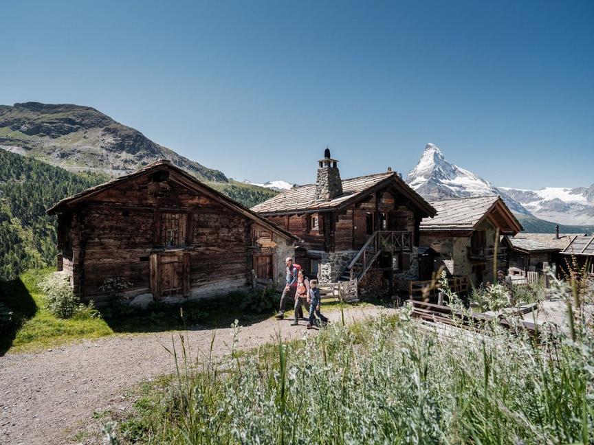
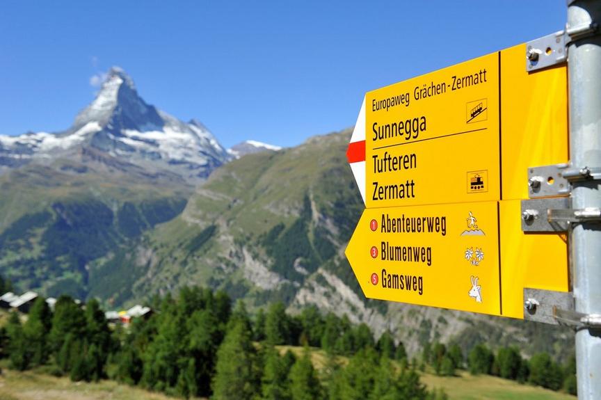
Everything in Zermatt is right at your doorstep – especially this very attractive hiking route. Highlight: the view of the southeast face of the Weisshorn pyramid.
Details
TypeCircular route
DifficultyDemanding
Duration6 h 40 min
Distance13.6 km
Ascent1332 m
Descent1332 m
Lowest point1620 m
Highest point2936 m
Description
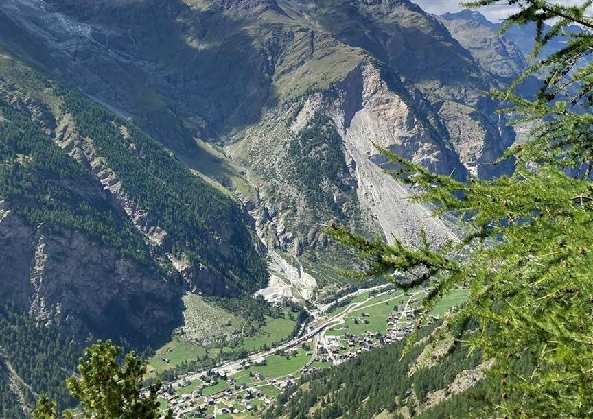
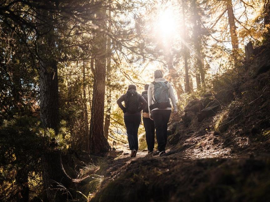
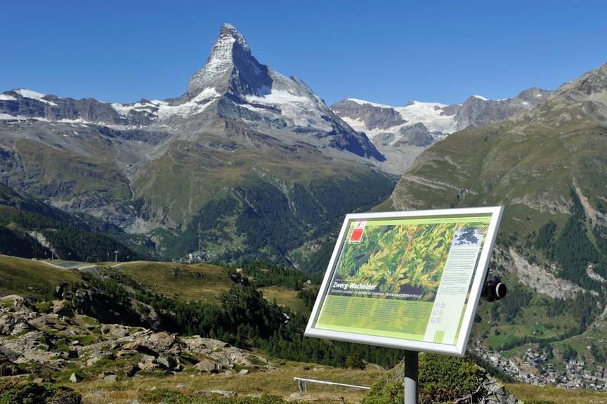
On the partly steep path, you also walk through a small larch forest. Afterwards, above the tree line, the view is incomparable. View of the Matterhorn, Weisshorn, Breithorn, and an eagle's view of the village of Zermatt. In the highest part of the hike, you can clearly see the droppings of chamois, which sometimes rest here at night.
- Be careful in spring and autumn: the path can be icy in shaded areas
- Observe chamois and ibex
- Duration from the village to Trift approx. 2 h
Best season
Route
Rating
Map
You can find more information about ©Outdooractive tours by following the link below the map.
Properties
- Restaurants on the way
- Circular route
- Nice views
- Geological highlights
- Botanical highlights
- Cultural highlights
- Faunistic highlights
- Insider tip