Mountain Hiking TrailDemanding
Hike to the Täschhütte (No. 45)
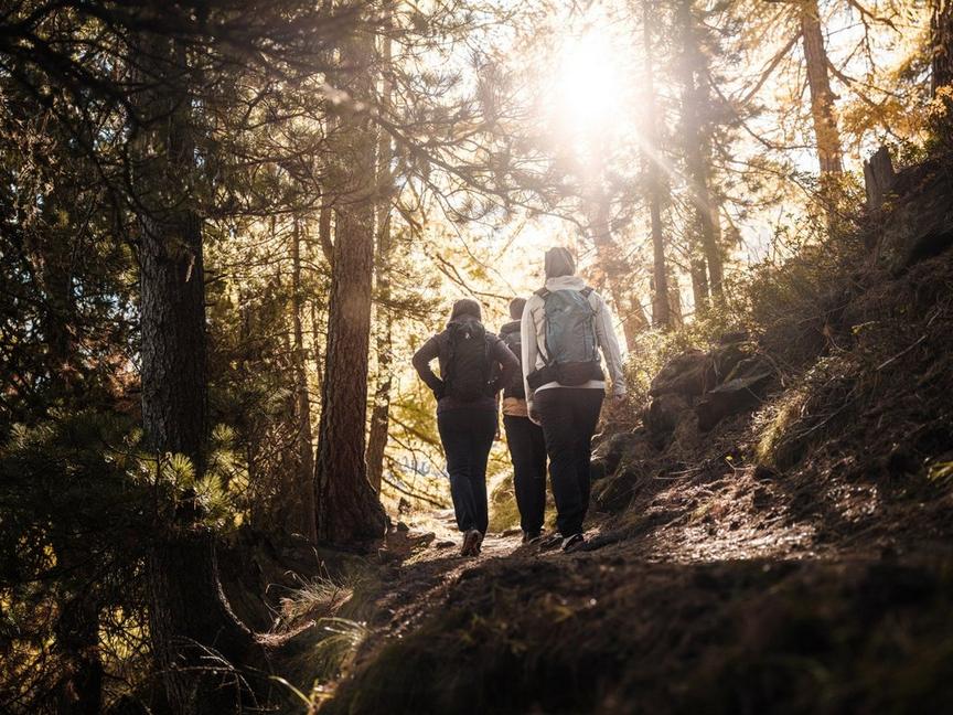
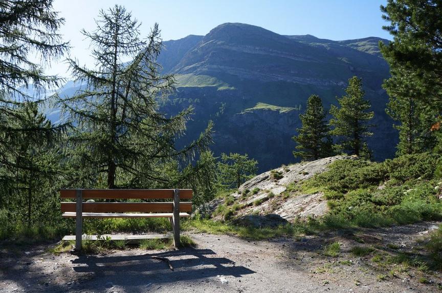
This varied hike offers insight into many aspects of the mountain world: view of mountain giants, surprising alpine flora, and a glimpse into the life of an alpinists' hut.
Details
TypeRoute tour
DifficultyDemanding
Duration3 h 25 min
Distance7.2 km
Ascent1275 m
Descent5 m
Lowest point1434 m
Highest point2706 m
Description
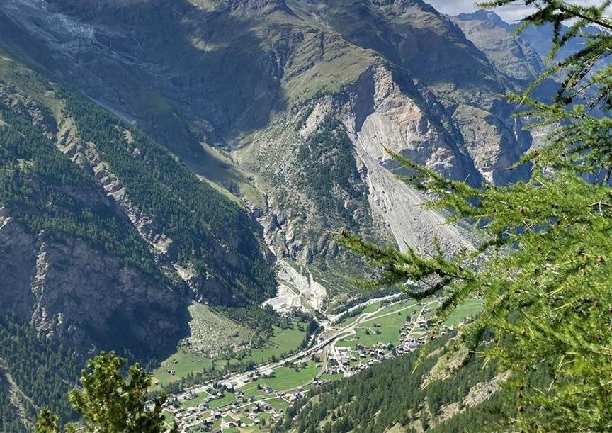
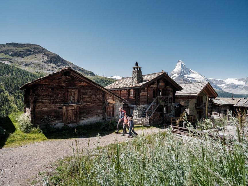
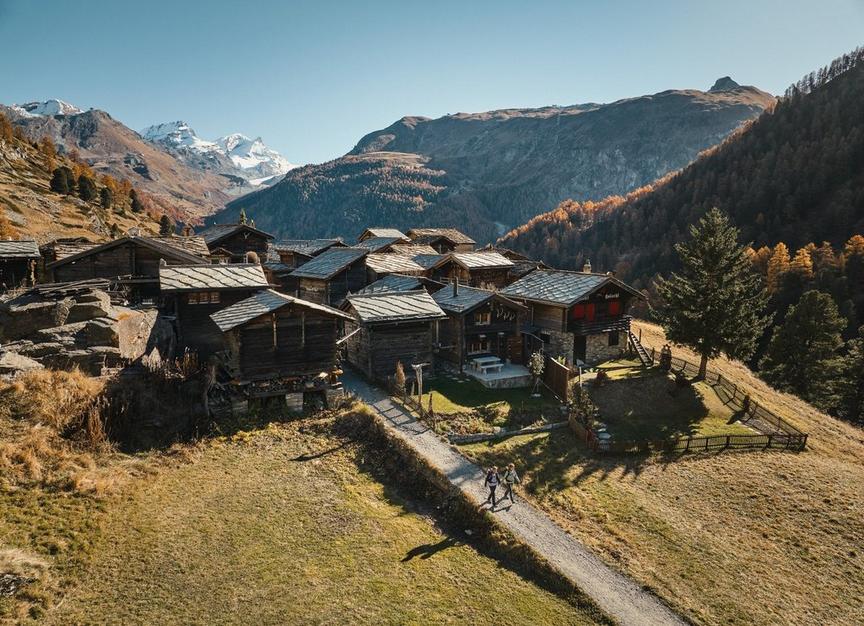
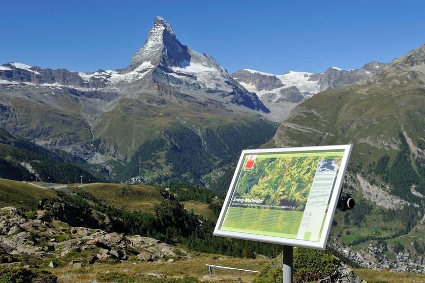
Cows graze on the Täschalp, whose milk is processed on-site into cheese. Flower enthusiasts marvel at the grasses, flowers, and lichens. Later, the path offers ever more surprising views. Upon reaching the Täschhütte, you meet alpinists with great plans: Alphubel, Täschhorn, and other 4000-meter peaks.
- View of Zinalrothorn, Schalihorn, Weisshorn
- View of the Dufourspitze from the Täschhütte
- Wildlife area
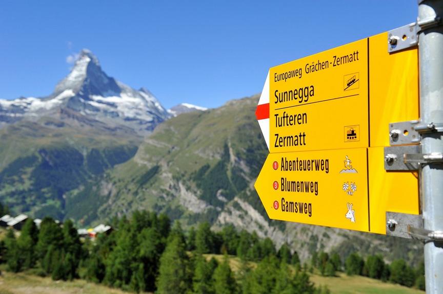
- Option: taxi from Täsch to Täschalp
Best season
Route
Rating
Map
You can find more information about ©Outdooractive tours by following the link below the map.
Properties
- Restaurants on the way
- Route tour
- Nice views
- Geological highlights
- Botanical highlights
- Cultural highlights
- Faunistic highlights
- Insider tip