Thematic trailModerate
Panorama route Zermatt (No. 9)
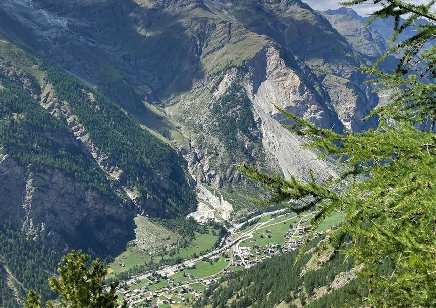
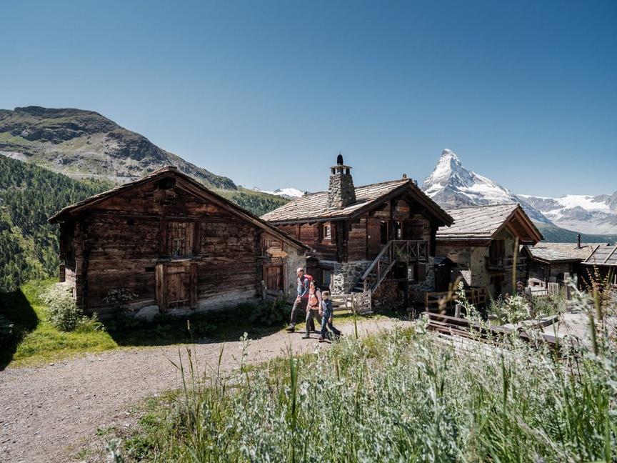
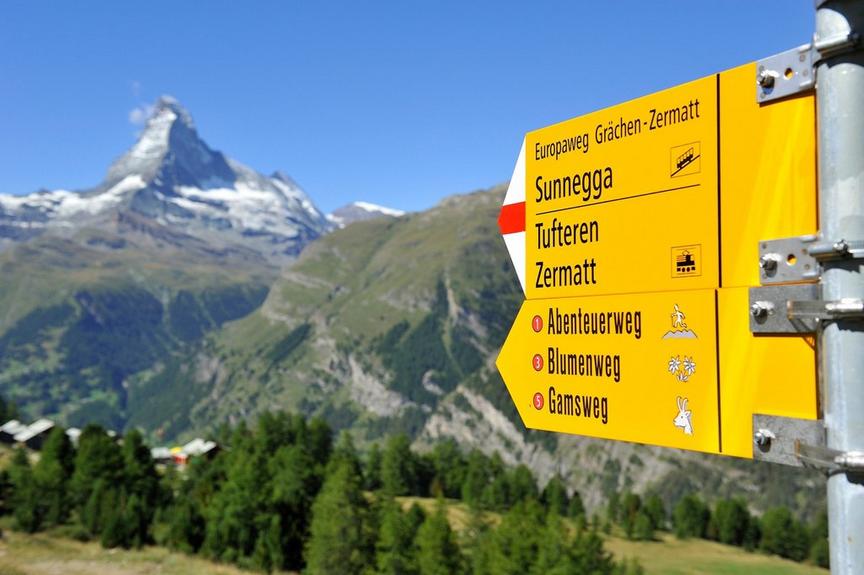
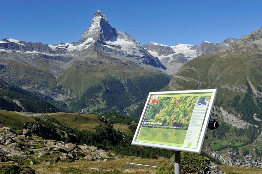
Between Ritzengrat and Blauherd the view is magnificent, a real panorama route. To see: the Matterhorn with north and east faces as well as Hörnligrat.
Details
TypeRoute tour
DifficultyModerate
Duration50 min
Distance2 km
Ascent242 m
Descent1 m
Lowest point2577 m
Highest point2818 m
Between Ritzengrat and Blauherd the view is magnificent, a real panorama route. To see: the Matterhorn with north and east faces as well as Hörnligrat.
Details
TypeRoute tour
DifficultyModerate
Duration50 min
Distance2 km
Ascent242 m
Descent1 m
Lowest point2577 m
Highest point2818 m
Description
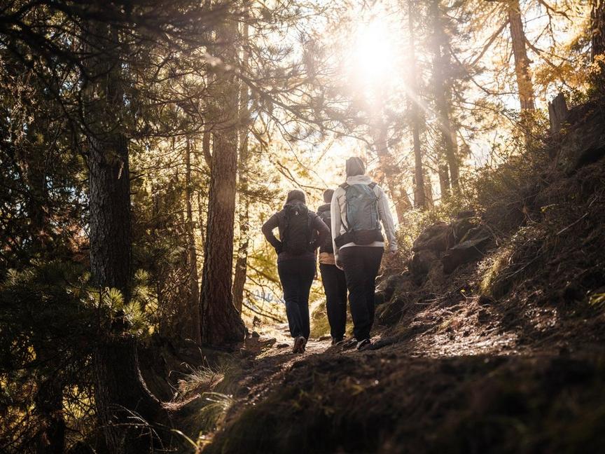
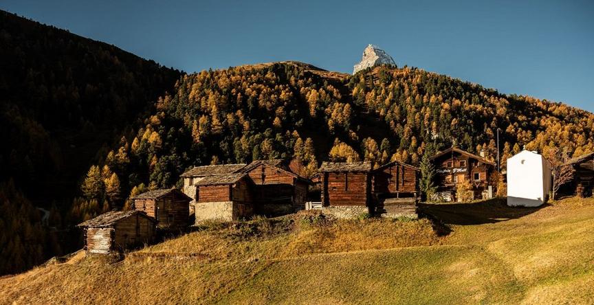
Those who choose the path from north to south, i.e. from Ritzengrat down to Blauherd, always have the Matterhorn in view. The path leads through the "Meisterswang" area, in the northern part of the Unterrothorn (called Rothorn). Those who follow this mountain flank have a view like from a balcony.
The main attraction on this path is the Matterhorn: information about this world-famous mountain can be read on panels. Why is the Matterhorn called African? How did it form? What does the primeval sea Tethys have to do with it? Those interested in geological processes and the formation of the Matterhorn should walk this path at least once.
- Information panels in German, English, French, Japanese
Best season
Route
Rating
Map
You can find more information about ©Outdooractive tours by following the link below the map.
Properties
- Route tour
- Nice views
- Geological highlights
- Botanical highlights
- Faunistic highlights
- Insider tip