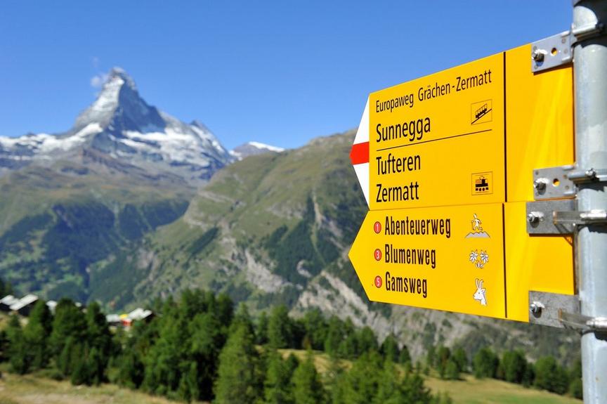
Mountain Hiking TrailDemanding
Pack trail (No. 25)
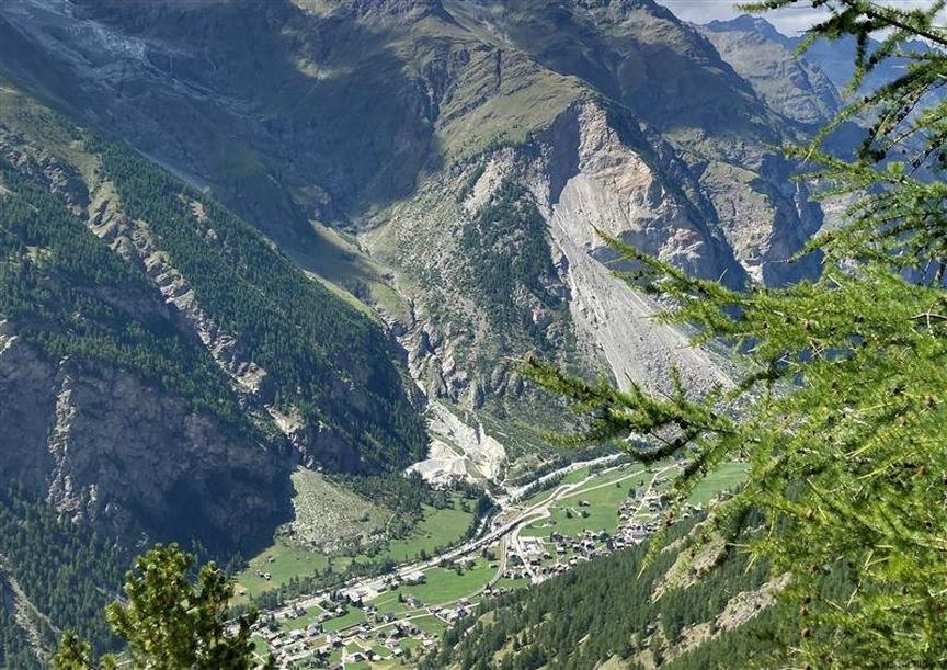
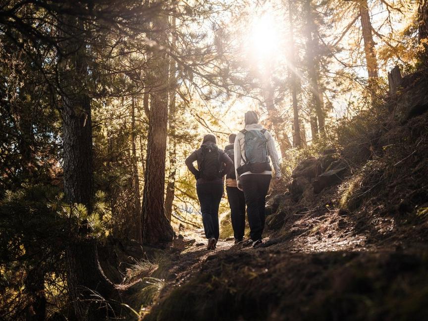
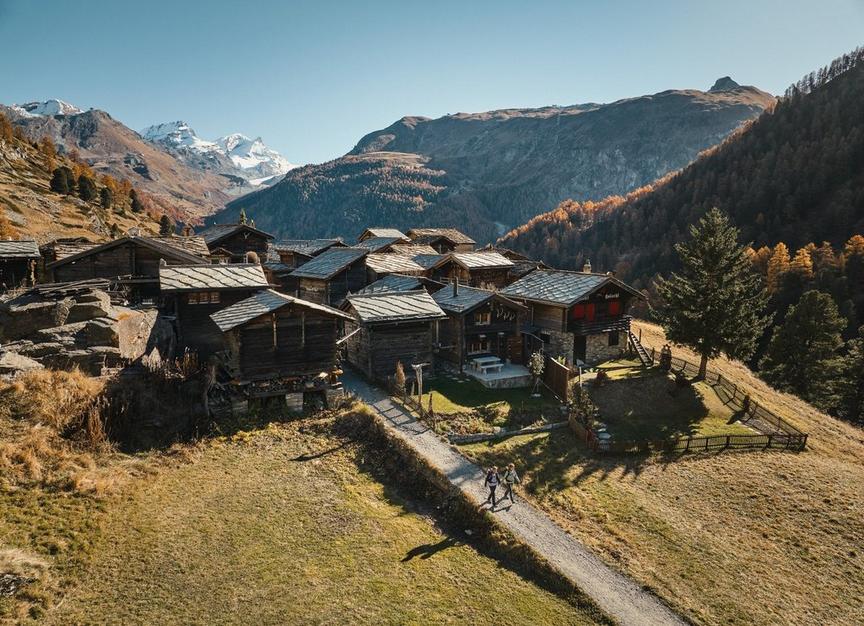
The almost eight-kilometer hiking trail is demanding: made from above, it goes downhill. Those who tackle the path from below, from Furi, will go to bed very satisfied in the evening. The view and experience richly reward the effort.
Details
TypeRoute tour
DifficultyDemanding
Duration2 h 30 min
Distance7.6 km
Ascent171 m
Descent1228 m
Lowest point1864 m
Highest point3030 m
Description
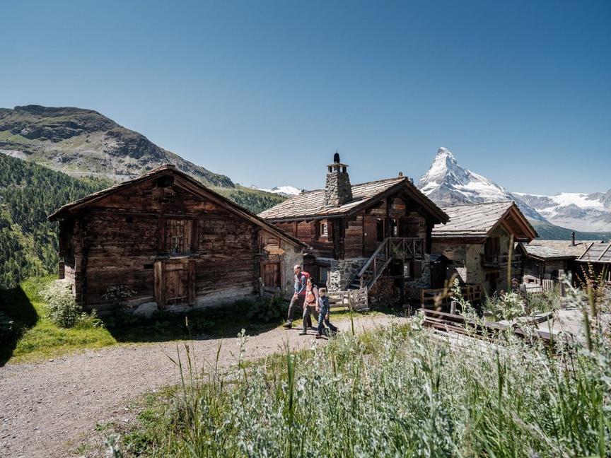
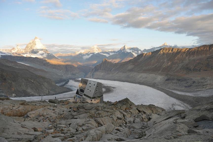
In the past, packers brought food and firewood to the huts in the barren rocky landscape at Trockener Steg. Archaeological objects are repeatedly found in this area (see note below). Today, the large mountain station with restaurants and shop stands on the rocky outcrop. From here you can reach the highest point in Europe accessible by train, at Matterhorn glacier paradise (3,883 m).
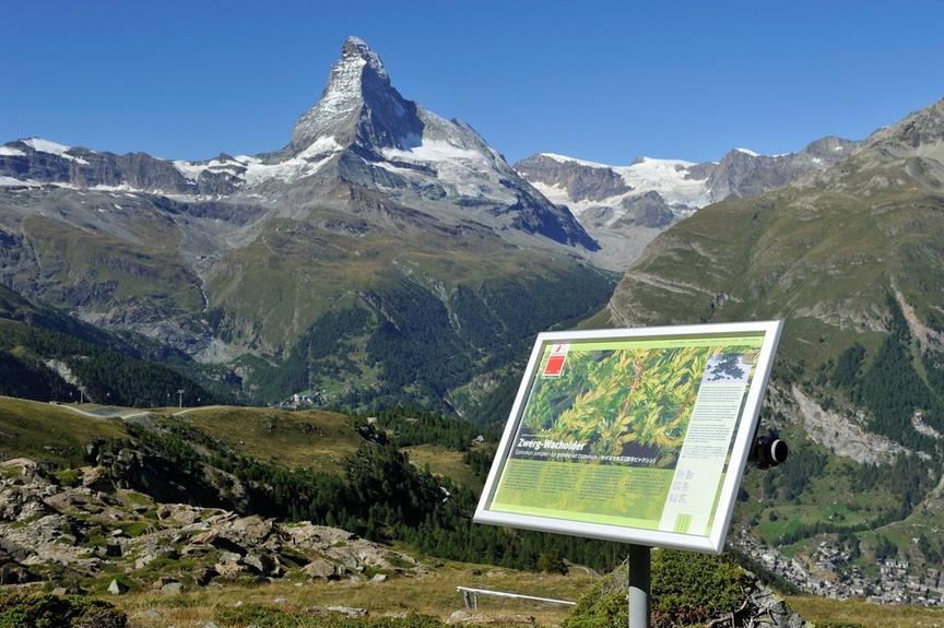
The hiking trail is characterized by rocks, gravel and rounded knobs polished by former glaciers. The further down you go, the greater the diversity of vegetation. Where lichens mainly color the stones above, further down there are grasses, mosses and flowering plants. A delight for the attentive eye.
- Trockener Steg: unusual view of the Matterhorn from the restaurant terrace
- Matterhorn Museum - Zermatlantis in the village: archaeological finds from the area to see (stone axe, 3rd–5th millennium BC)
Best season
Route
Rating
Map
You can find more information about ©Outdooractive tours by following the link below the map.
Properties
- Restaurants on the way
- Route tour
- Nice views
- Geological highlights
- Botanical highlights
- Cultural highlights
- Faunistic highlights
- Insider tip