Mountain Hiking TrailModerate
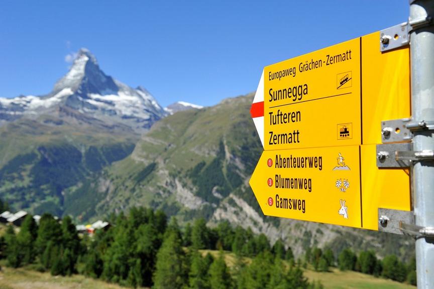
Hike to the Kinhütte - via Randa (No. 67)
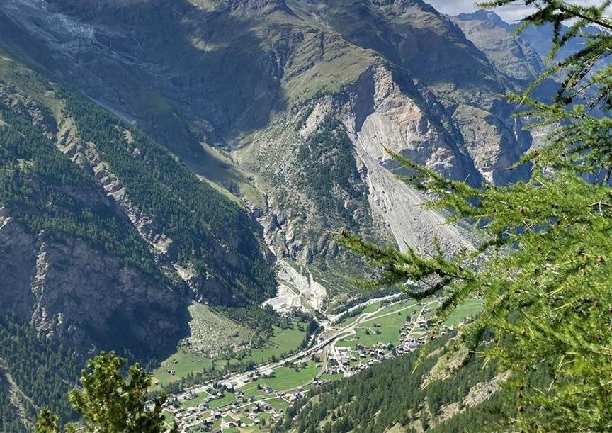
In this area above Randa, many things are called "wild" and "wildi." "Wildkin", "Wildibach". As the names suggest, this hike to the Kinhütte is wild and beautiful.
Details
TypeRoute tour
DifficultyModerate
Duration3 h 30 min
Distance7.9 km
Ascent1401 m
Descent224 m
Lowest point1407 m
Highest point2587 m
Description
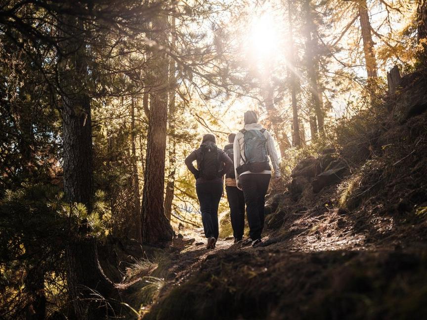
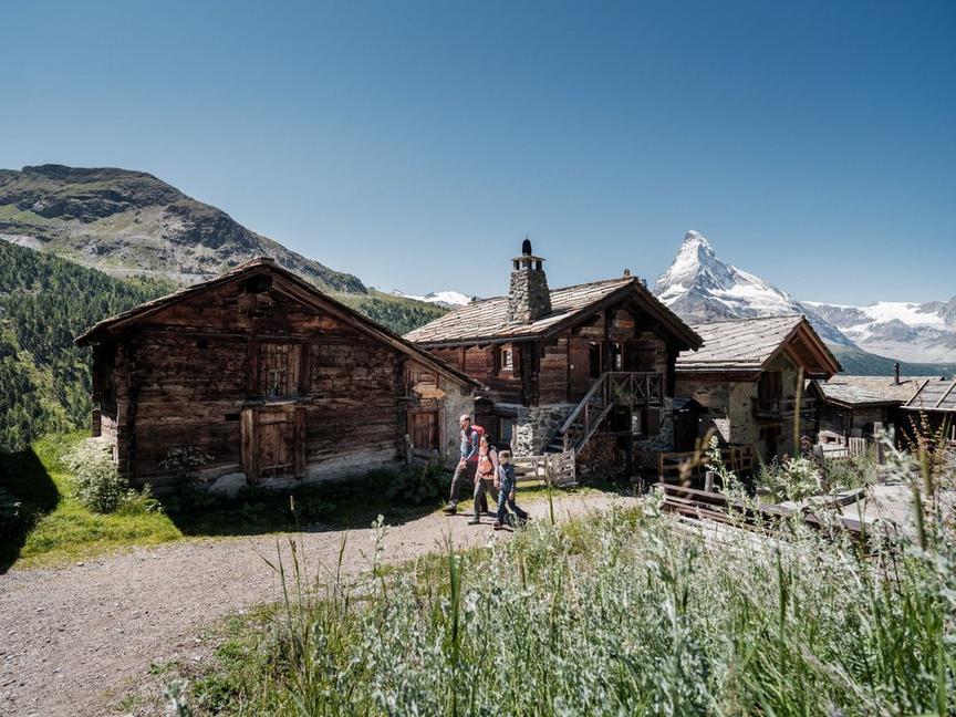
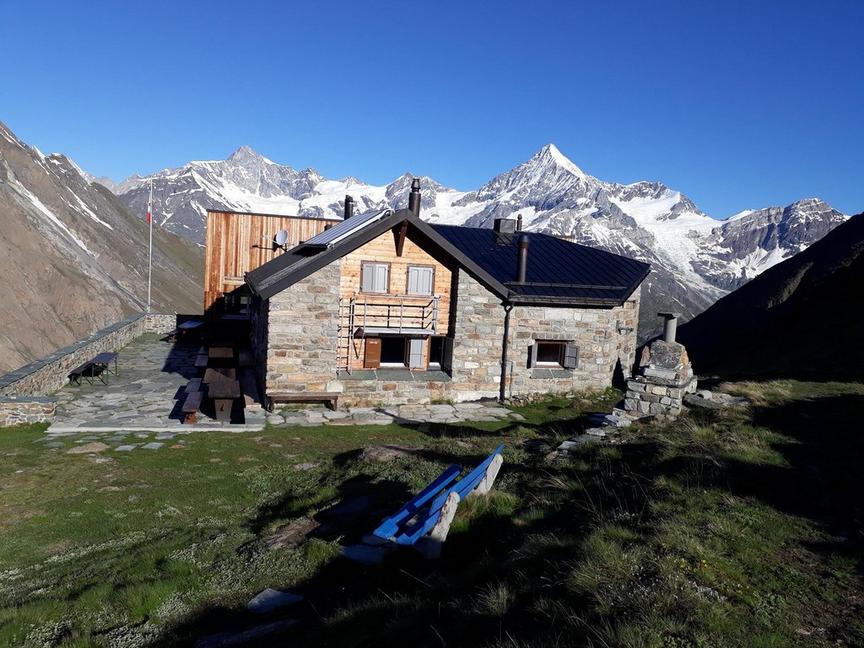
The Kinhütte is located off the beaten paths. Therefore, it is the ideal place for experienced mountain hikers seeking peace and tranquility. But first, the reward must be earned: by overcoming the steep and demanding mountain hiking trail, which requires concentration and stamina.
- Edelweiss
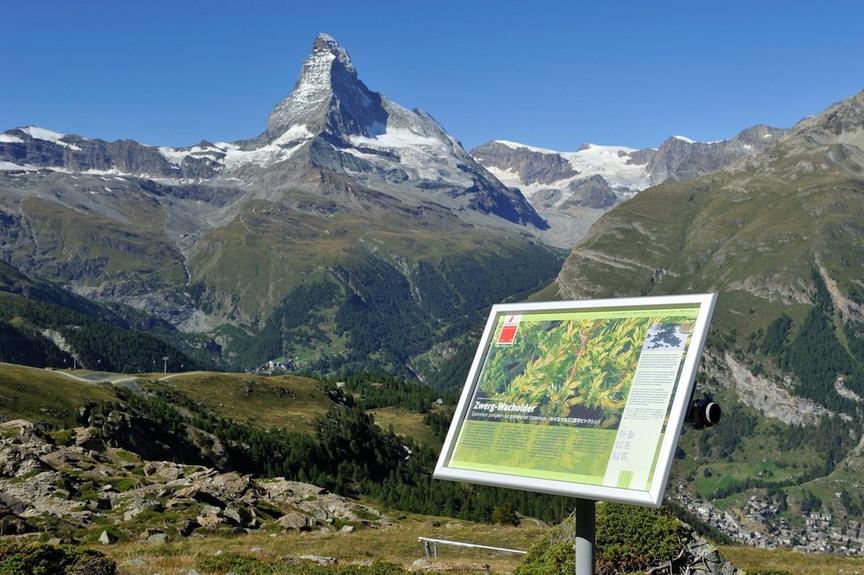
- magnificent views over the valley
Best season
Route
Rating
Map
You can find more information about ©Outdooractive tours by following the link below the map.
Properties
- Restaurants on the way
- Route tour
- Nice views
- Geological highlights
- Botanical highlights
- Cultural highlights
- Faunistic highlights
- Insider tip