Mountain Hiking TrailDemanding
Gross Kastel (No. 63)
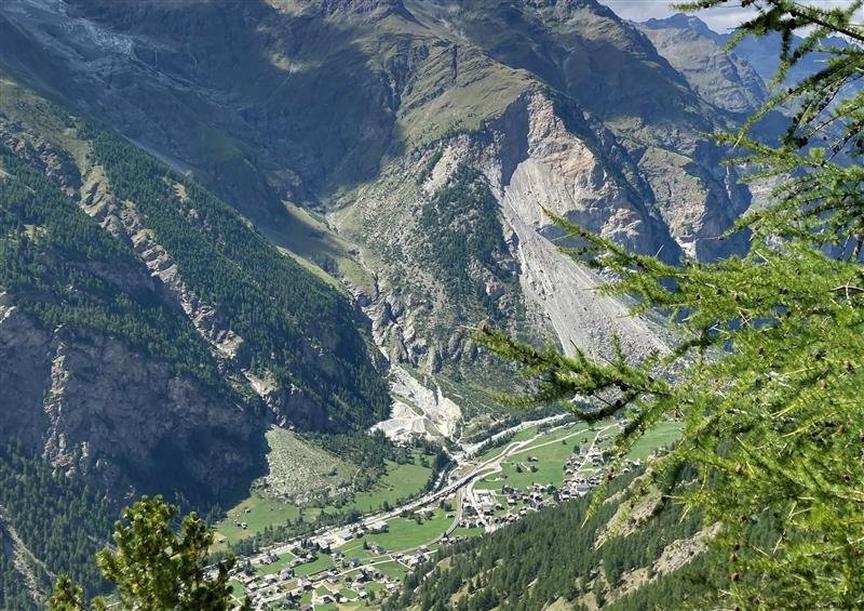
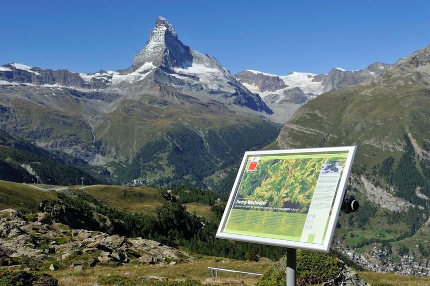
The hike leads to a rather unknown mountain, the Gross Kastel (2,830 m). Beautiful view of the rugged Bis Glacier.
Details
TypeRoute tour
DifficultyDemanding
Duration3 h 40 min
Distance6.2 km
Ascent1428 m
Descent7 m
Lowest point1405 m
Highest point2832 m
The hike leads to a rather unknown mountain, the Gross Kastel (2,830 m). Beautiful view of the rugged Bis Glacier.
Details
TypeRoute tour
DifficultyDemanding
Duration3 h 40 min
Distance6.2 km
Ascent1428 m
Descent7 m
Lowest point1405 m
Highest point2832 m
Description
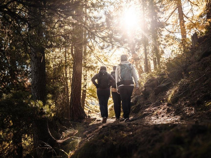
During the hike, which is classified as difficult, you pass through various alpine landscapes. First along the roaring Bisbach, then over steep slopes into the rock formations, where sometimes even hands are needed. Up to the Gross Kastel it goes over scree fields. The plateau on the summit invites you to linger and enjoy the view.
- Summit cross
- View of Täsch, Randa, Matter Valley
- Weisshorn close enough to touch
- View of Brunegghorn (3,833 m)
Best season
Route
Rating
Map
You can find more information about ©Outdooractive tours by following the link below the map.
Properties
- Route tour
- Nice views
- Geological highlights
- Botanical highlights
- Faunistic highlights
- Insider tip