Hiking trailModerate
Forest path Randa (No. 66)
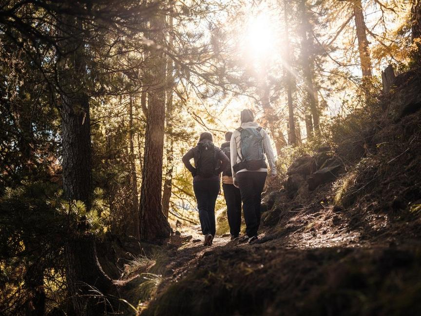
This child-friendly hike into the Bannwald area of Randa can surprise you: you might spot ibexes.
Details
TypeCircular route
DifficultyModerate
Duration2 h 20 min
Distance5.9 km
Ascent493 m
Descent493 m
Lowest point1409 m
Highest point1901 m
This child-friendly hike into the Bannwald area of Randa can surprise you: you might spot ibexes.
Details
TypeCircular route
DifficultyModerate
Duration2 h 20 min
Distance5.9 km
Ascent493 m
Descent493 m
Lowest point1409 m
Highest point1901 m
Description
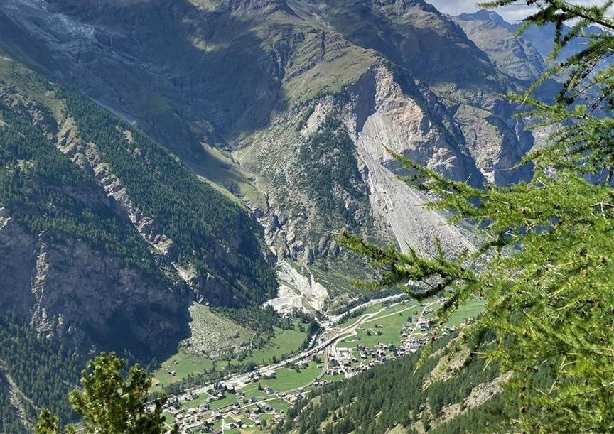
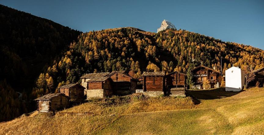
The landscape around Randa leads into the primeval world of the mountain Bannwald forests. Larches, Swiss stone pines, moss-covered rocks, soft forest floor. Imagination is sparked by gloomy rocks, knotted tree trunks, Icelandic moss. A paradise for families.
- Suitable for children from 6 years old
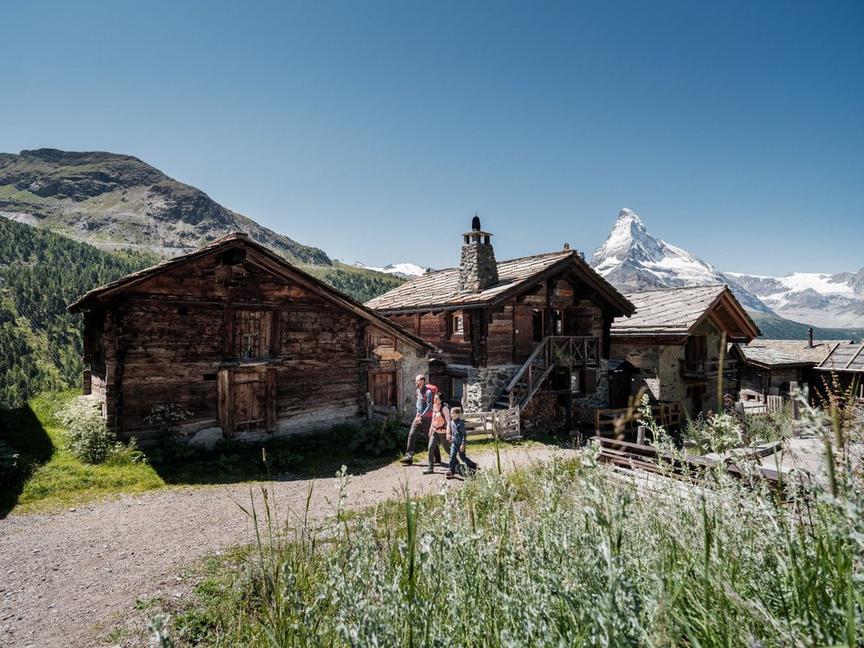
- Rock slab called Medelplatte, with a small wayside shrine featuring a statue of the Virgin Mary
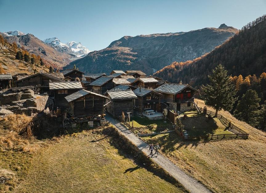
- Chüebodmen with a small Virgin Mary chapel
Best season
Route
Rating
Map
You can find more information about ©Outdooractive tours by following the link below the map.
Properties
- Restaurants on the way
- Circular route
- Easy for walking with children
- Nice views
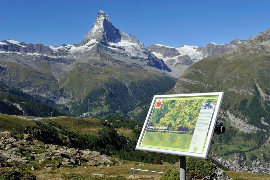
- Botanical highlights
- Cultural highlights
- Faunistic highlights
- Insider tip