Hiking trailModerate
Direttissima (No. 4)
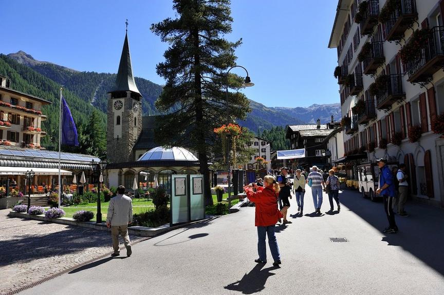
Yes, this path goes directly down into the village – as the name suggests.
Details
TypeRoute tour
DifficultyModerate
Duration1 h 20 min
Distance3.5 km
Ascent3 m
Descent617 m
Lowest point1602 m
Highest point2216 m
Yes, this path goes directly down into the village – as the name suggests.
Details
TypeRoute tour
DifficultyModerate
Duration1 h 20 min
Distance3.5 km
Ascent3 m
Descent617 m
Lowest point1602 m
Highest point2216 m
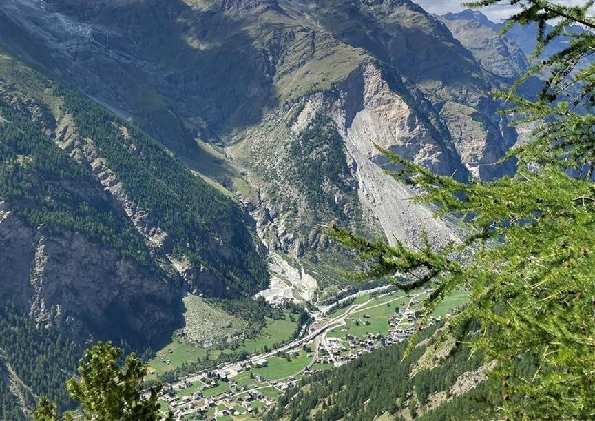
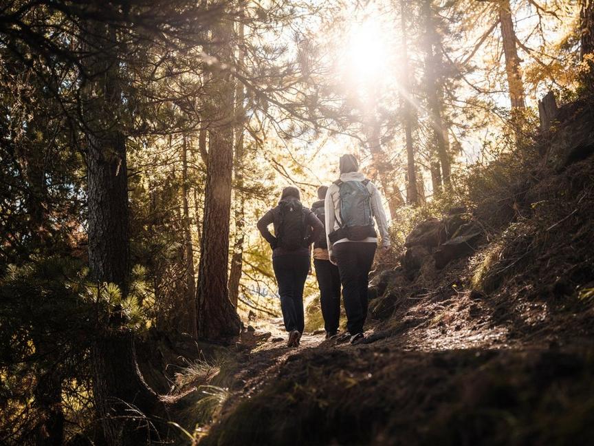
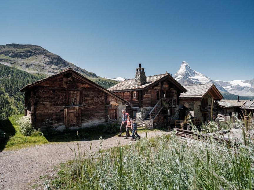
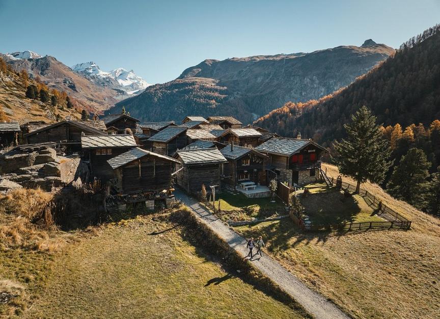
Description
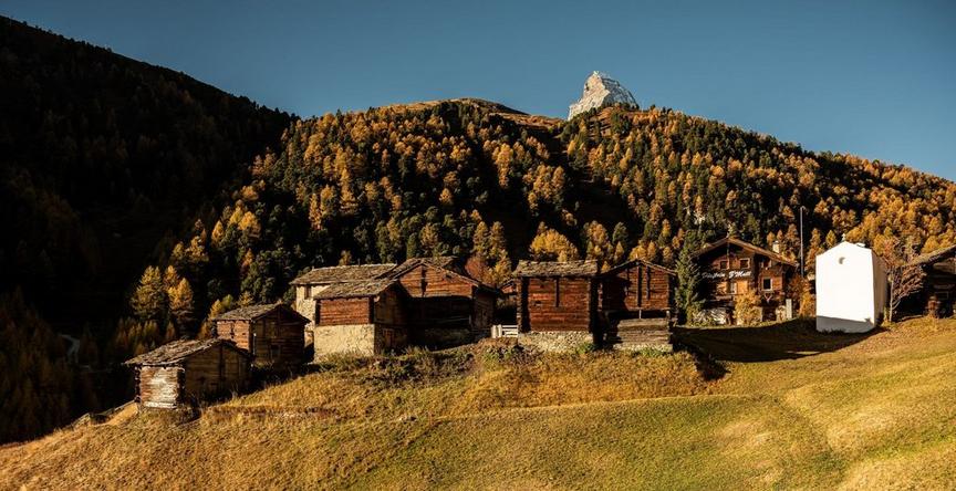
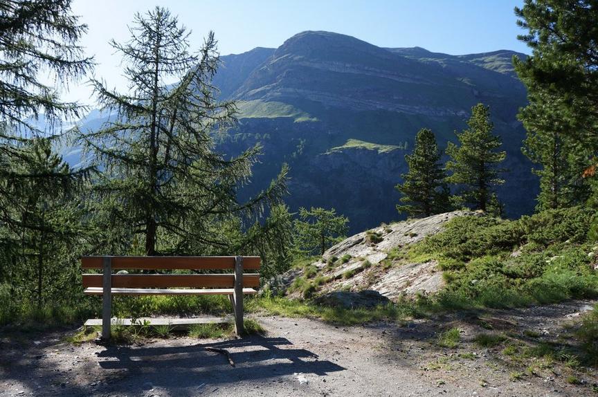
Those who do this hike dive directly from the forested mountain world into the village of Zermatt. The idyllic path leads through larch mixed forest. Parts of the path are over soft larch needles (caution slippery), but also past mini alpine meadows with "Gädi" (barn in the Zermatt dialect). Some small forest clearings invite you to linger and enjoy the fresh forest air.
Best season
Route
Rating
Map
You can find more information about ©Outdooractive tours by following the link below the map.
Properties
- Restaurants on the way
- Route tour
- Nice views
- Botanical highlights
- Cultural highlights
- Faunistic highlights
- Insider tip