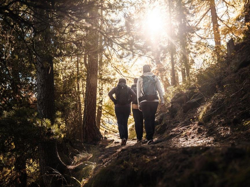
Mountain Hiking TrailModerate
Circular path suspension bridge Randa (No. 69)
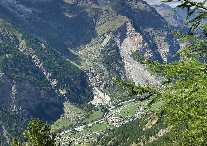
The circular hike to the Randa suspension bridge leads through larch forests and to an impressive record structure: the longest pedestrian suspension bridge in the Alps.
Details
TypeCircular route
DifficultyModerate
Duration4 h
Distance8.6 km
Ascent988 m
Descent988 m
Lowest point1409 m
Highest point2267 m
Description
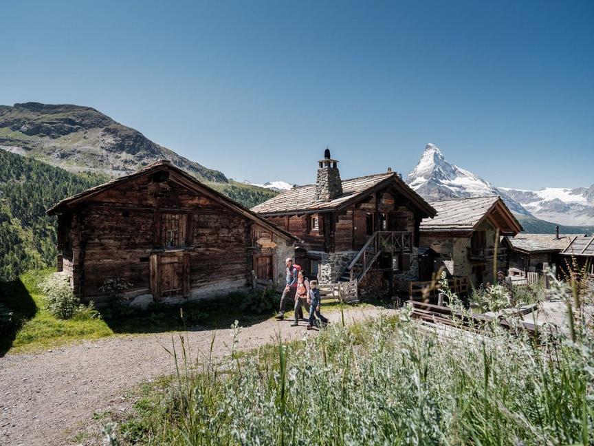
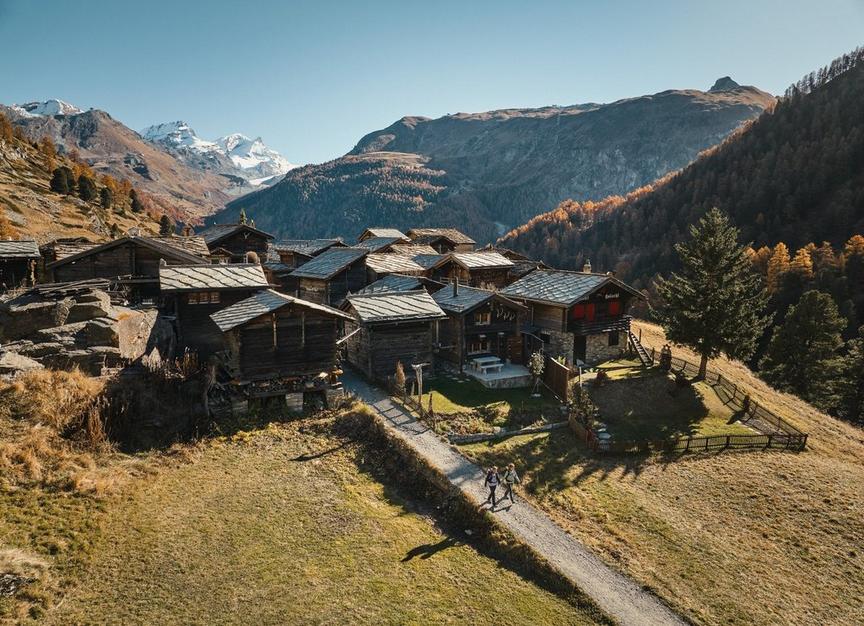
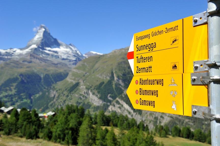
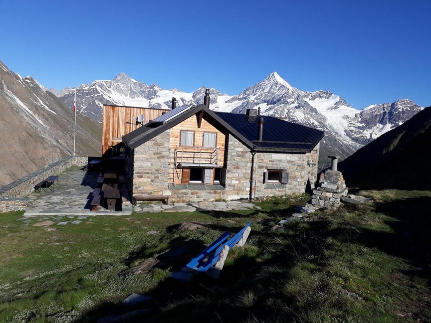
The path begins at Randa station, from where the signposts "Europabrücke" show the direction. Through larch forests and past the viewpoint on "Hohtschugga", hikers reach the "Charles Kuonen Suspension Bridge". At 494 m, it is the longest pedestrian suspension bridge in the Alps. Crossing takes just under 10 minutes and at the highest point, pedestrians hover 85 m above the ravine. After crossing, turn right along the Domhüttenweg back to Randa. Optionally, a detour to the Europahütte can be made after the bridge.
- Suitable for the whole family
- Being surefooted is a prerequisite
- Crossing the suspension bridge is free of charge
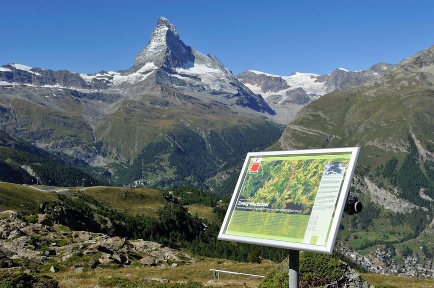
- Viewpoint on "Hohtschugga" at 1,749 m
- The Europahütte (built 1998/1999) stands on stilts
- The Europahütte is located, as the name suggests, on the Europaweg and thus also on the Monte Rosa route.
Best season
Route
Rating
Map
You can find more information about ©Outdooractive tours by following the link below the map.
Properties
- Restaurants on the way
- Circular route
- Nice views
- Botanical highlights
- Cultural highlights
- Faunistic highlights
- Insider tip