Hiking trailEasy
Circular hike Täsch (No. 42)
This circular hike is just right for an acclimatization route. Or for pure relaxation. Also ideal for families with children.
Details
TypeCircular route
DifficultyEasy
Duration1 h 10 min
Distance4.6 km
Ascent28 m
Descent28 m
Lowest point1424 m
Highest point1451 m
This circular hike is just right for an acclimatization route. Or for pure relaxation. Also ideal for families with children.
Details
TypeCircular route
DifficultyEasy
Duration1 h 10 min
Distance4.6 km
Ascent28 m
Descent28 m
Lowest point1424 m
Highest point1451 m
Description
The circular route leads through varied terrain. Along the Täsch-Randa golf course. Past campfires and playgrounds. The ideal exercise area for the whole family. Time flies by, also because swimming in Schalisee is an attraction.
- Swimming possible in Schalisee
- Suitable for children from 4 years old
- Campfires, playgrounds along the route
- Toilets and fountains on the way
- Play opportunities along the way: football, volleyball
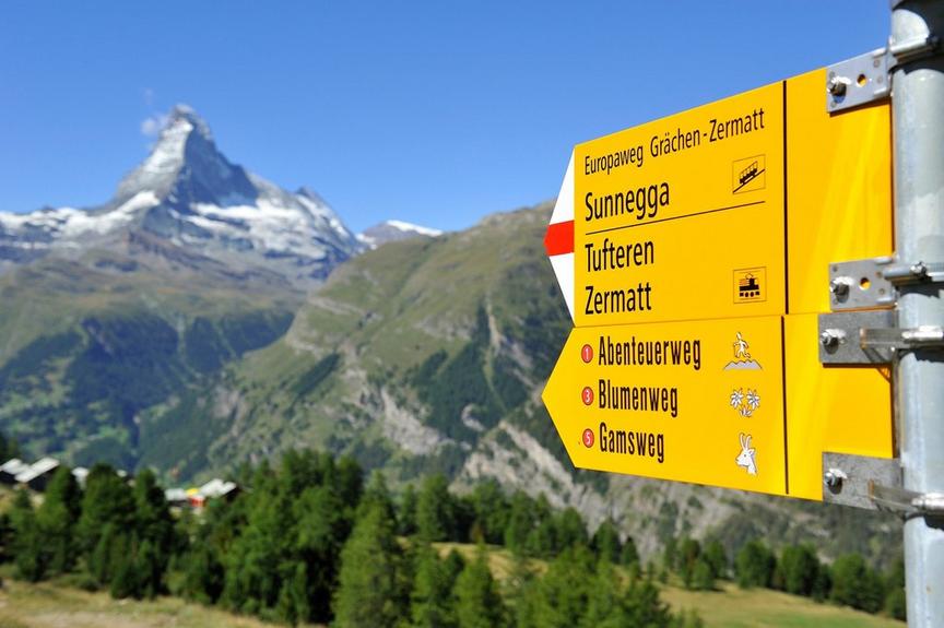
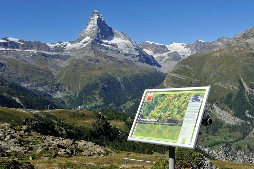
- View of Klein Matterhorn and Breithorn
Best season
Route
Rating
Map
You can find more information about ©Outdooractive tours by following the link below the map.
Properties
- Restaurants on the way
- Circular route
- Suitable for strollers
- Easy for walking with children
- Cultural highlights
- Insider tip