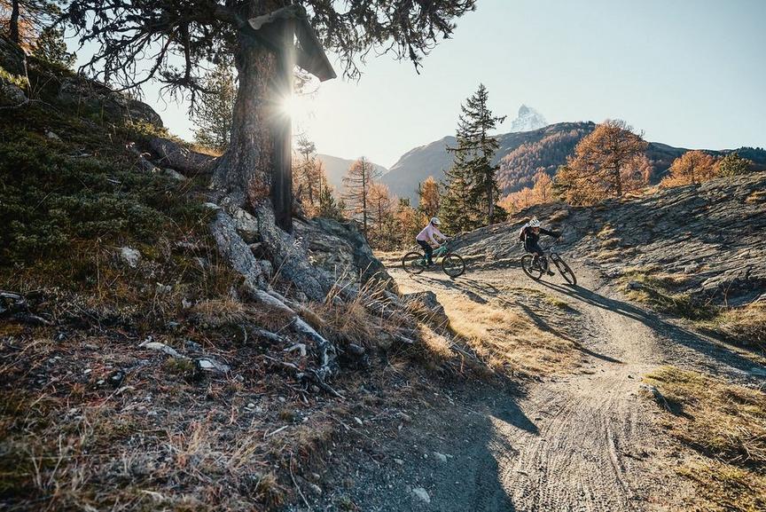
Mountain bike tourMedium
Bike route Zermatt–Sunnegga Uphill (No. 22)
This route is the sporty alternative to the ride with the Sunnegga funicular. At Sunnegga you have the perfect starting point for the Sunnegga Flowtrail as well as for several other bike routes.
Details
TypeMountain bike tour
DifficultyMedium
Duration1 h 30 min
Distance8.5 km
Ascent663 m
Descent6 m
Lowest point1620 m
Highest point2288 m
Description
Starting in the village, the route leads along the paved road to the Restaurant Ried, until the path gradually changes to a gravel road and runs through fragrant larch forests. Shortly before Sunnegga, you cross the tree line and the mountain panorama including the Matterhorn opens up.
At Sunnegga there are many connection possibilities in practically all directions: the fun descent on the Sunnegga Flowtrail, gourmet enjoyment in Findeln, or extend the route to Riffelalp
This route does not strictly require a mountain bike, but slightly wider tires are advantageous.
Best season
Route
Rating
Map
You can find more information about ©Outdooractive tours by following the link below the map.
Properties
- Restaurants on the way
- Route tour
- Nice views
- Cultural highlights
- Insider tip


