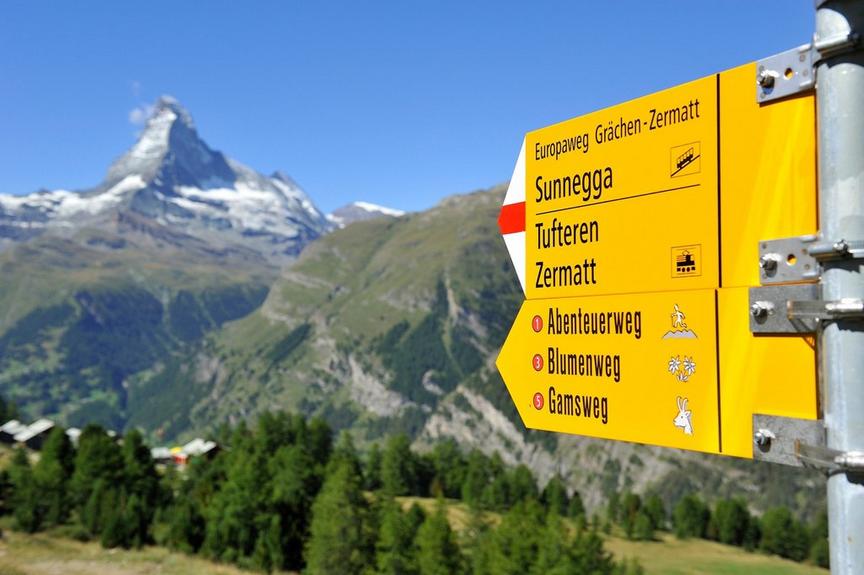
Multi-day tourHard
Matterhorn Trek
Details
TypeMulti-day tour
DifficultyHard
Duration18 h 35 min
Distance47.6 km
Ascent3064 m
Descent3055 m
Lowest point1620 m
Highest point3260 m
Details
TypeMulti-day tour
DifficultyHard
Duration18 h 35 min
Distance47.6 km
Ascent3064 m
Descent3055 m
Lowest point1620 m
Highest point3260 m
Description
After each stage, a cozy mountain hut awaits where the hosts warmly welcome arrivals. They know the mountain world around Zermatt well and surely have one or another anecdote to tell.
The trekking offers different facets and five days of fascination in the mountain paradise of Zermatt.
The Matterhorn Trek requires careful preparation as it is a long, multi-day tour in an alpine environment.
Renovation of the Schönbiel Hut – important information
The Schönbiel Hut will be renovated in summer 2026. The Matterhorn Trek will take place as planned from June 26, 2026 to July 31, 2026.
During your stay, there may be noise emissions during the day, limited availability of certain areas, and adjustments in hut operations. Overnight stays and meals are guaranteed, but comfort may be reduced.
Best season
Route
Rating
Map
You can find more information about ©Outdooractive tours by following the link below the map.
Properties
- Restaurants on the way
- Route tour
- Nice views
- Geological highlights
- Botanical highlights
- Cultural highlights
- Faunistic highlights
- Insider tip


