
Thematic trailModerate
The Gorner Glacier through time (No. 93)
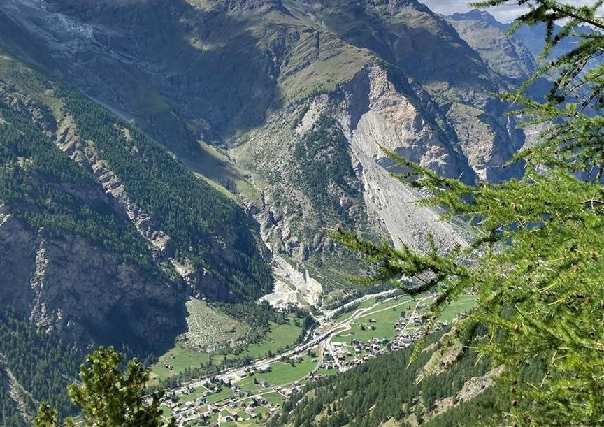
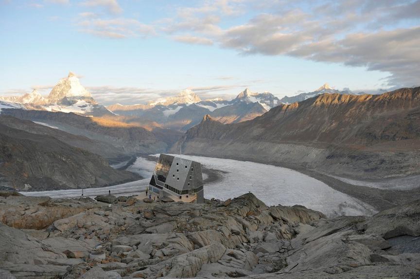
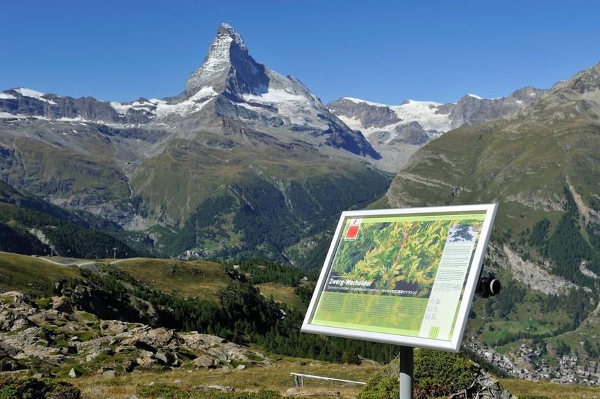
The hike leads to the dramatically rugged terrain of the lower Gorner Glacier. It has retreated by over 3,000 m in the last 150 years. Anyone interested in climate change can observe the process of major glacier melting at every step.
Details
TypeCircular route
DifficultyModerate
Duration2 h 45 min
Distance7.6 km
Ascent396 m
Descent396 m
Lowest point1828 m
Highest point2156 m
The hike leads to the dramatically rugged terrain of the lower Gorner Glacier. It has retreated by over 3,000 m in the last 150 years. Anyone interested in climate change can observe the process of major glacier melting at every step.
Details
TypeCircular route
DifficultyModerate
Duration2 h 45 min
Distance7.6 km
Ascent396 m
Descent396 m
Lowest point1828 m
Highest point2156 m
Description
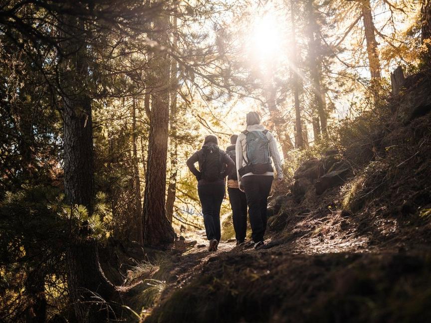
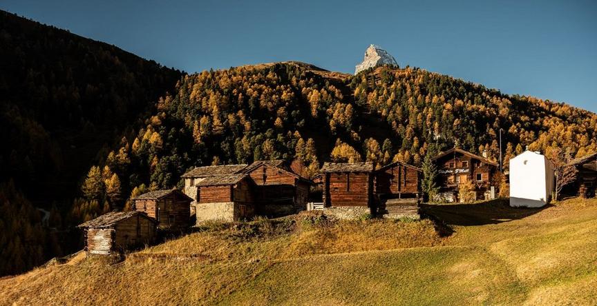
The hike starts gently. You walk through green mountain meadows, pass bright mountain forests of larches and Swiss stone pines. After the "Im Boden" area, you leave the suspension bridge to your left and descend to the confluence of two streams called Furggbach and the outflow of the Gorner Glacier, the Gornera. You cross the streams over small bridges. Depending on the season, weather, and glacier outflow, the streams either murmur gently or have transformed into raging gray monsters. Then you follow the left side of the Gornera as viewed from the valley. Here the landscape is no longer gentle; this is pioneer territory: rubble fields of debris pile up but are already overgrown by pioneer trees, the larches. In the valley behind, it rises steeply to the viewpoint at Blatteten.
Glaciers grow and shrink—over centuries and millennia. The Gorner Glacier had its greatest extent between 1859 and 1865, also in 1667 and 1385. In between, it retreated by about 1000 meters each time. In the year 1000 and the centuries around Christ's birth, there was hardly any glacier mass that could be called the Gorner Glacier—simply, it did not exist. The information boards along the marked theme trail explain the phenomena around glacier existence.
- On the return path, you can also visit the Gletschergarten Dossen
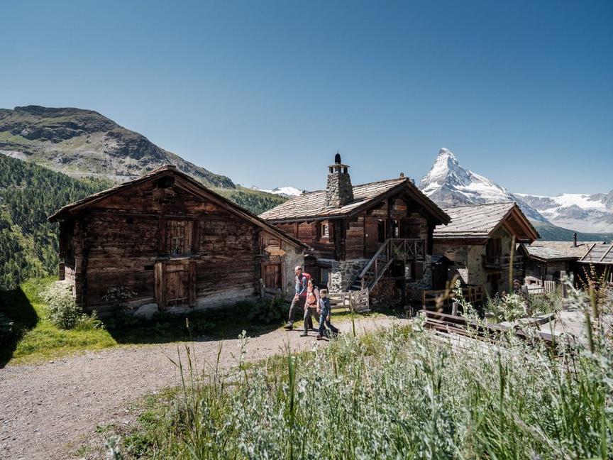
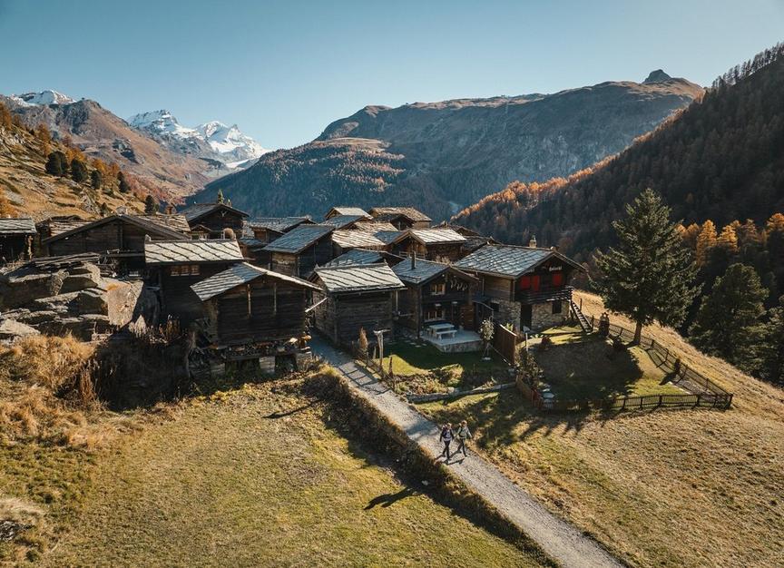
- Along the way, there are 10 boards with texts in German and English explaining the glacier world. Fascinating is the history of the alp "Im Boden", which was buried by advancing ice masses in the 19th century. Also notable is the fact that the local population engaged in tree-cutting to rescue the precious wood from the hungry jaws of the advancing glacier.
Best season
Route
Rating
Map
You can find more information about ©Outdooractive tours by following the link below the map.
Properties
- Restaurants on the way
- Circular route
- Easy for walking with children
- Geological highlights
- Botanical highlights
- Cultural highlights
- Insider tip