Mountain Hiking TrailModerate
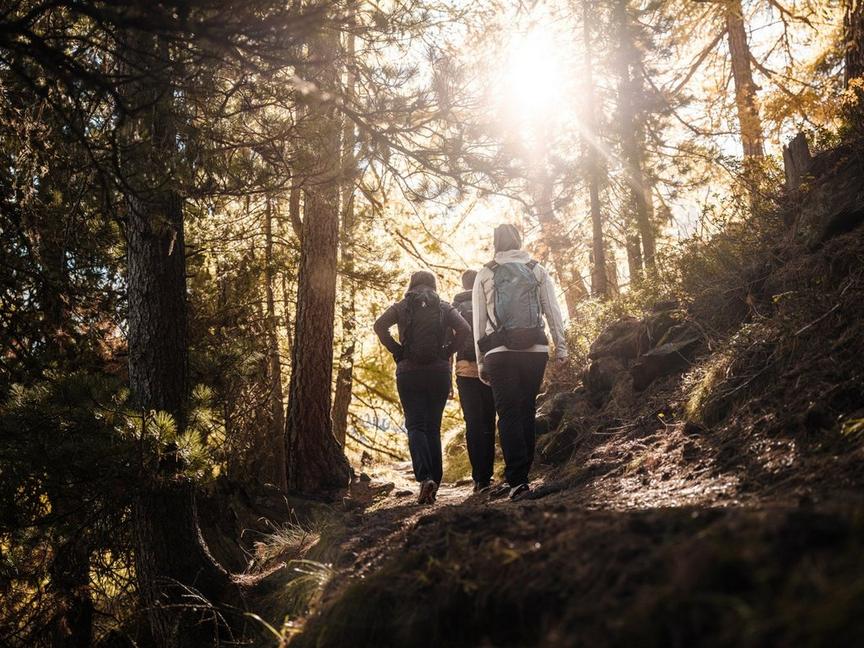
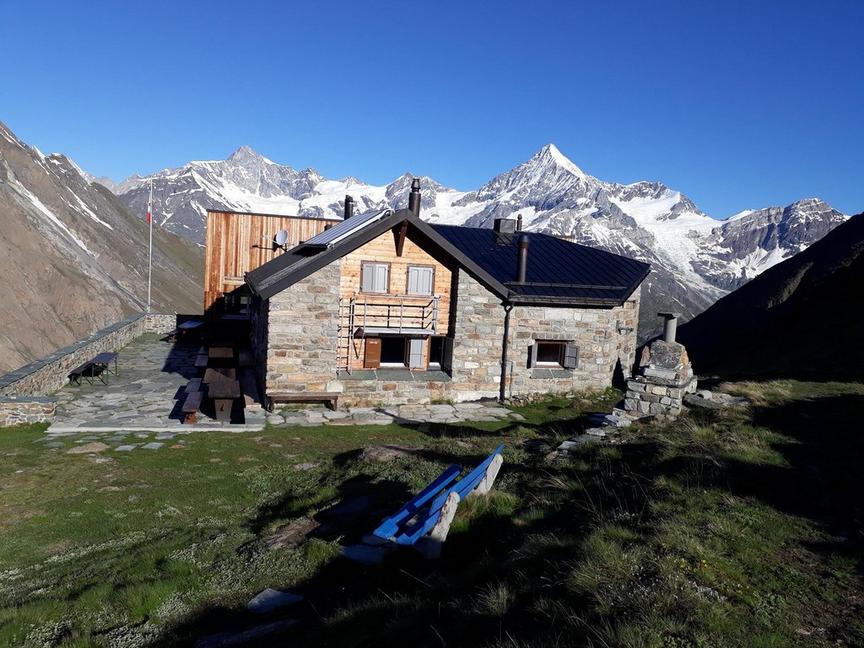
Hike to the Schönbielhütte (No. 53)
Details
TypeMountain Hiking Trail
DifficultyModerate
Duration3 h 10 min
Distance9.2 km
Ascent514 m
Descent410 m
Lowest point2177 m
Highest point2694 m
Details
TypeMountain Hiking Trail
DifficultyModerate
Duration3 h 10 min
Distance9.2 km
Ascent514 m
Descent410 m
Lowest point2177 m
Highest point2694 m
Description
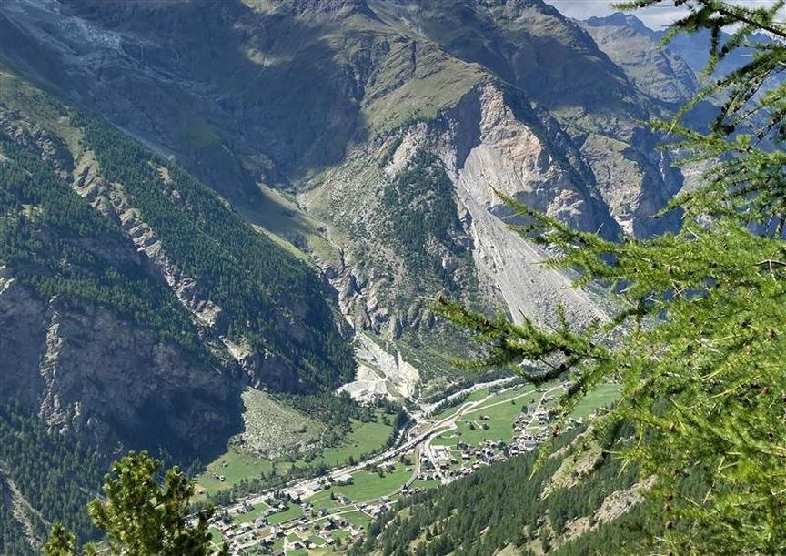
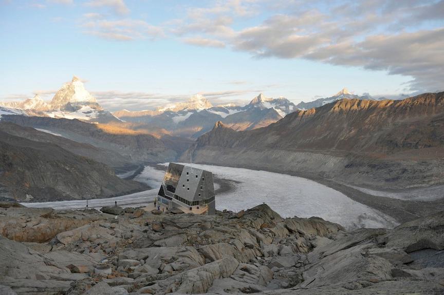
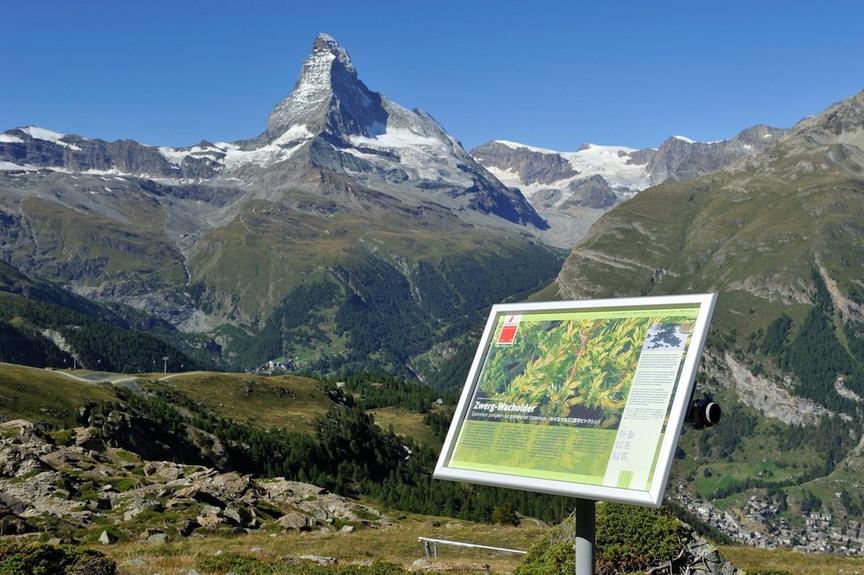
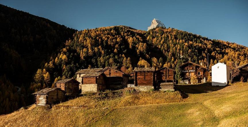
The path to the hut leads through the most diverse mountain landscapes: cultivated alpine pastures, gravel landscape of the former glacier tongue of the Zmutt Glacier, terminal moraine lakes, dam with hydroelectric power plant, large lateral moraine.
- Waterfall: Arbenbachfall
- Wildlife observation possible
Renovation Schönbielhütte – Important information
The Schönbielhütte will be renovated in summer 2026. Between 20.06.2026 and 01.08.2026 the hut is normally open, but there may be noise emissions, limited availability of some areas and adjustments in hut operations. Accommodation and catering are guaranteed, but comfort may be limited.
From 02.08.2026 the hut will be completely closed due to renovation.
Best season
Route
Rating
Map
You can find more information about ©Outdooractive tours by following the link below the map.
Properties
- Restaurants on the way
- Route tour
- Nice views
- Geological highlights
- Botanical highlights
- Cultural highlights
- Faunistic highlights
- Insider tip