Mountain Hiking TrailModerate
Hike to the Kinhütte - via Täschalp (No. 49)
Closed
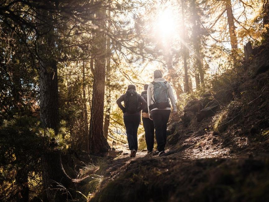
This hike is demanding – it goes over 1,000 m in altitude. But the path rewards with some very special experiences.
Details
TypeRoute tour
DifficultyModerate
Duration3 h 5 min
Distance7 km
Ascent703 m
Descent312 m
Lowest point1949 m
Highest point2587 m
This hike is demanding – it goes over 1,000 m in altitude. But the path rewards with some very special experiences.
Details
TypeRoute tour
DifficultyModerate
Duration3 h 5 min
Distance7 km
Ascent703 m
Descent312 m
Lowest point1949 m
Highest point2587 m
Description
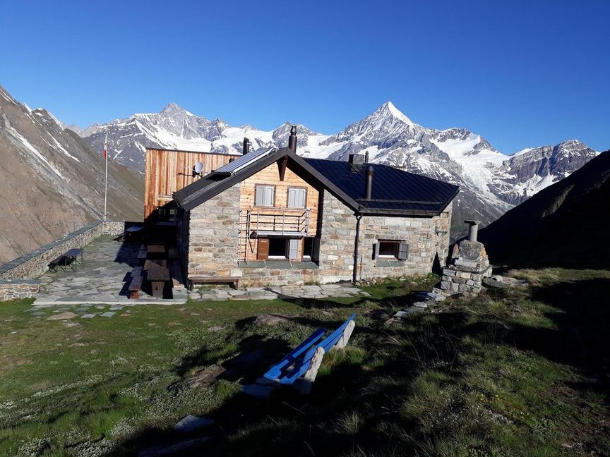
On the way to the Kinhütte, you stand eye level with beautifully and proudly growing Edelweiss flowers. However, the path requires concentration. The Kinhütte was formerly the starting point for alpine mountain tours. But due to terrain changes, the hut has become quieter in recent decades, which nature lovers seeking peace appreciate.
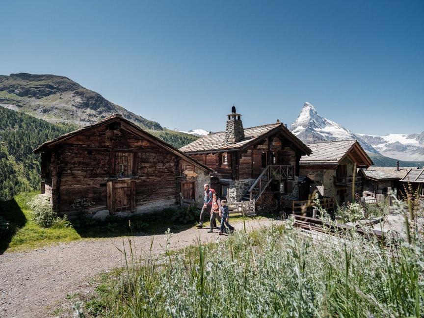
- Starting point for Täschhorn, Grabenhorn, Kinhorn, Dom
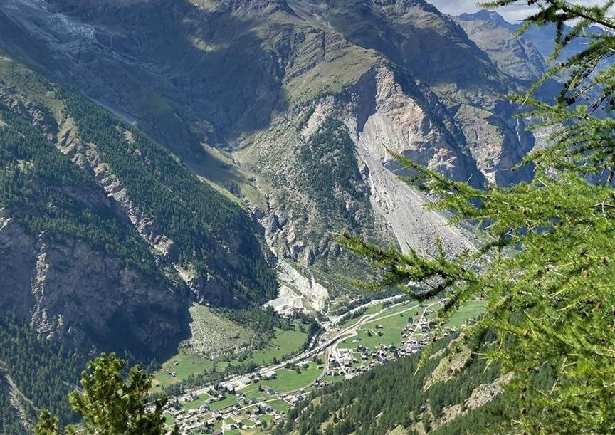
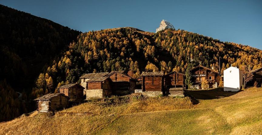
- Magnificent view of the Mattertal
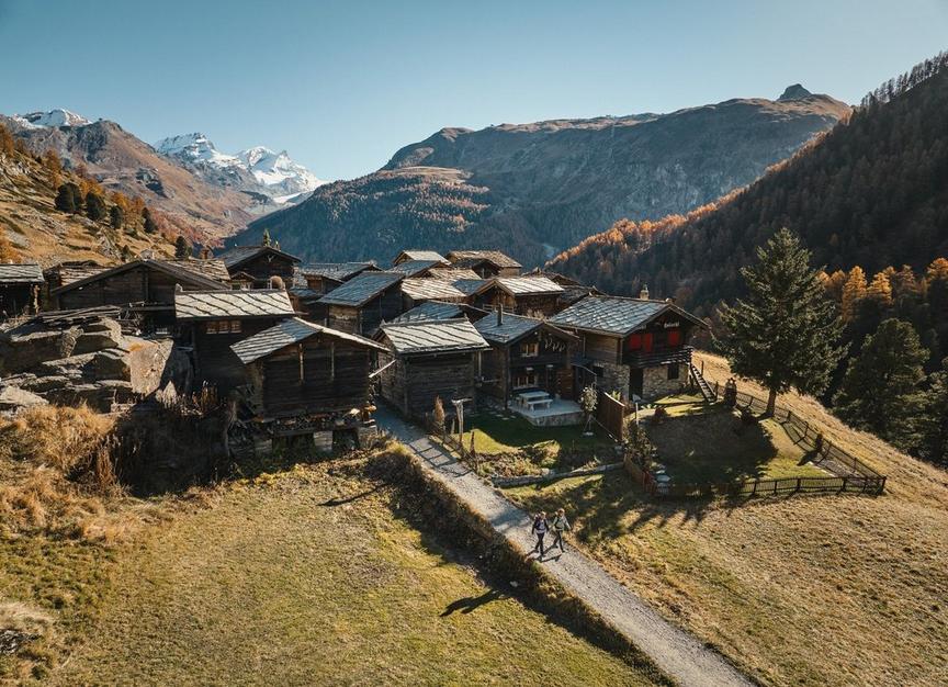
- Täschalp: Cheese and Ziger for sale
Best season
Jan
Feb
Mar
Apr
May
Jun
Jul
Aug
Sep
Oct
Nov
Dec
Route
Start point
Täschalp (2,214 m)
End point
Kinhütte (2,584 m)
Rating
Condition
Technique
Experience
Landscape
Map
You can find more information about ©Outdooractive tours by following the link below the map.
Properties
- Restaurants on the way
- Route tour
- Nice views
- Geological highlights
- Botanical highlights
- Cultural highlights
- Faunistic highlights
- Insider tip