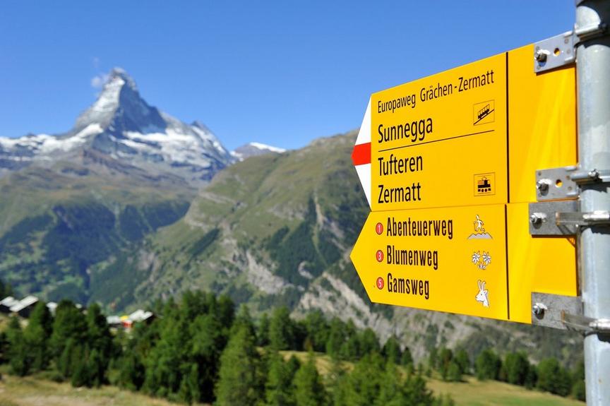
Hiking trailEasy
Furiweg (No. 51)
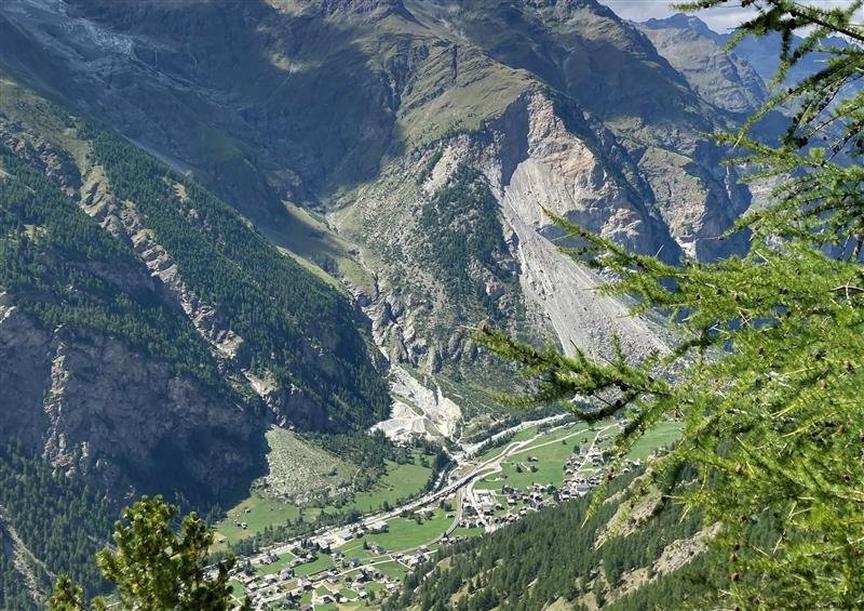
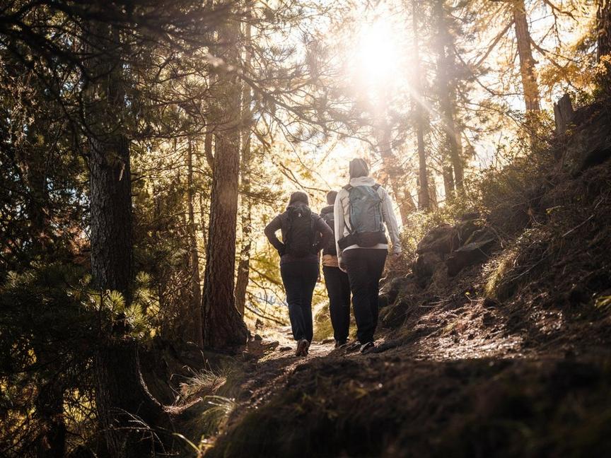
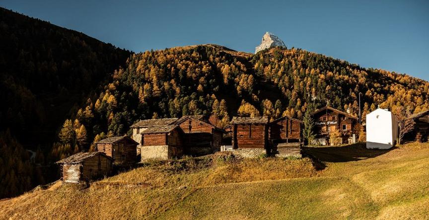
A road leads down from Furi to Zermatt. Those who want to get some exercise in the shady world of larches may see something completely surprising.
Details
TypeRoute tour
DifficultyEasy
Duration55 min
Distance3.7 km
Ascent0 m
Descent227 m
Lowest point1631 m
Highest point1858 m
A road leads down from Furi to Zermatt. Those who want to get some exercise in the shady world of larches may see something completely surprising.
Details
TypeRoute tour
DifficultyEasy
Duration55 min
Distance3.7 km
Ascent0 m
Descent227 m
Lowest point1631 m
Highest point1858 m
Description
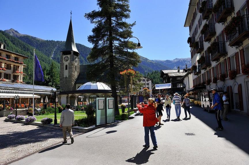
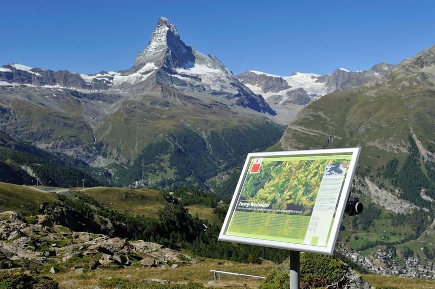
It is usually very quiet here, with hardly any people around. Sometimes a squirrel scurries across the road, and the view into the valley and to the mountains is impressive.
- Sections of shade and sun alternate
- Beautiful tree stands (larches, Swiss stone pines)
- Suitable for children from 4 years old
- Pushchair accessible
- Wheelchair-accessible road
Best season
Route
Rating
Map
You can find more information about ©Outdooractive tours by following the link below the map.
Properties
- Restaurants on the way
- Route tour
- Suitable for strollers
- Wheelchair accessible
- Easy for walking with children
- Nice views
- Botanical highlights
- Cultural highlights
- Faunistic highlights
- Insider tip