
Hiking trailModerateT2
Schaliberg (No. 64)
Open
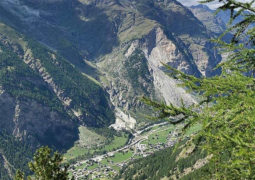
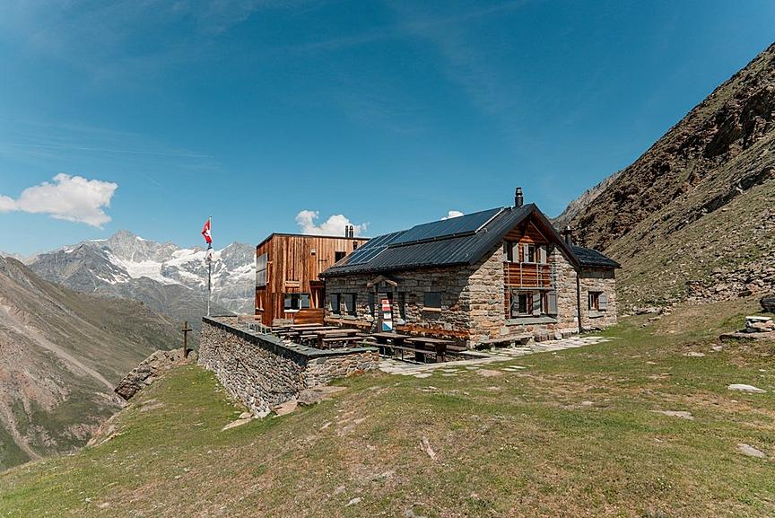
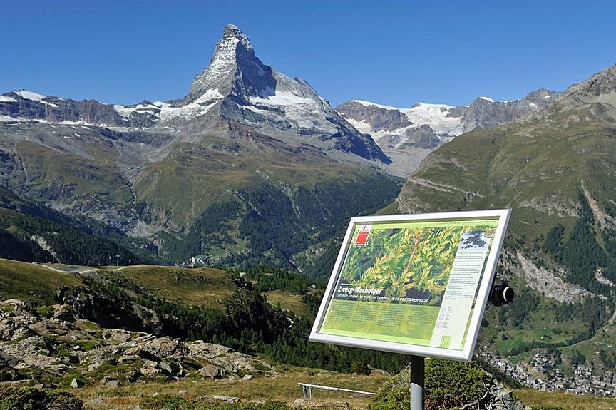
This moderate hike from Randa leads among other places to the Alp Rötiboden (1,970 m), where the view over the valley and to the surrounding towering mountains is breathtaking.
Details
Type
Circular route
Difficulty
ModerateT2
Duration
3 h 45 min
Distance
7.5 km
Ascent
630 m
Descent
630 m
Lowest point
1400 m
Highest point
2023 m
This moderate hike from Randa leads among other places to the Alp Rötiboden (1,970 m), where the view over the valley and to the surrounding towering mountains is breathtaking.
Details
Type
Circular route
Difficulty
ModerateT2
Duration
3 h 45 min
Distance
7.5 km
Ascent
630 m
Descent
630 m
Lowest point
1400 m
Highest point
2023 m
Description
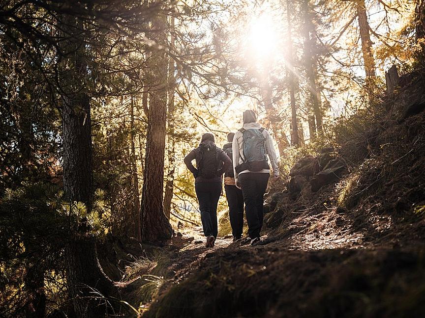
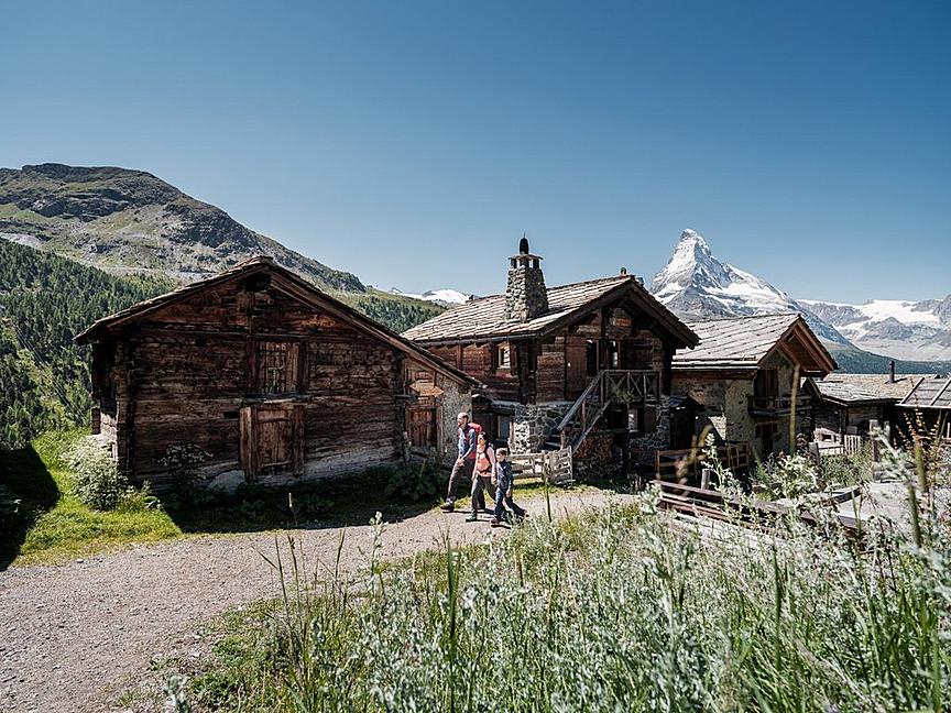
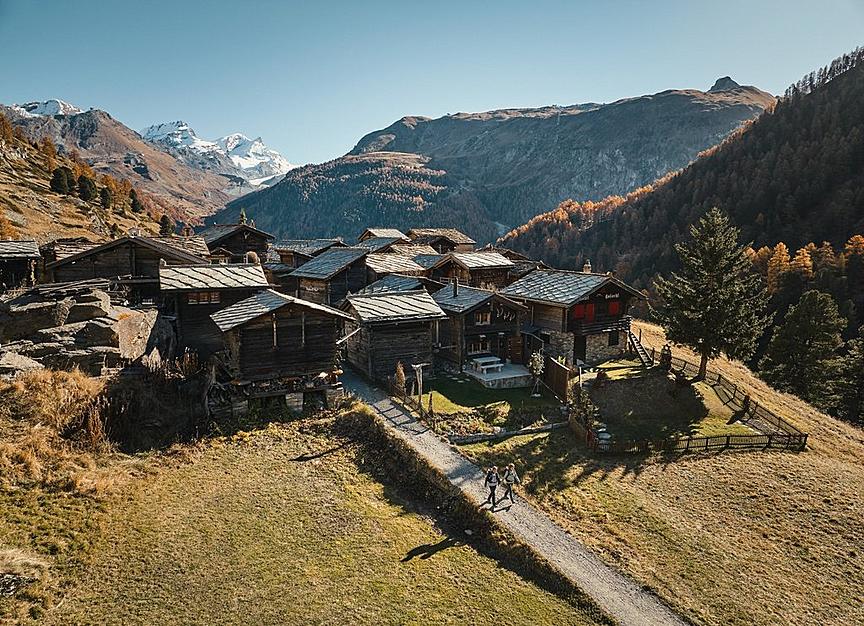
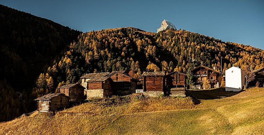
This hike should not be underestimated. After all, almost 900 vertical meters have to be overcome. But it is worth it because it goes through a varied and attractive landscape. Those with an eye for rich alpine flora will be fully rewarded.
- Rötiboden is an ideal place for a picnic
- View of the Schalisee
Best season
Jan
Feb
Mar
Apr
May
Jun
Jul
Aug
Sep
Oct
Nov
Dec
Route
Start point
Randa (1,439 m)
End point
Randa (1,439 m)
Rating
Condition
Experience
Landscape
Map
You can find more information about ©Outdooractive tours by following the link below the map.
Properties
- Restaurants on the way
- Circular route
- Nice views
- Geological highlights
- Botanical highlights
- Cultural highlights
- Faunistic highlights
- Insider tip