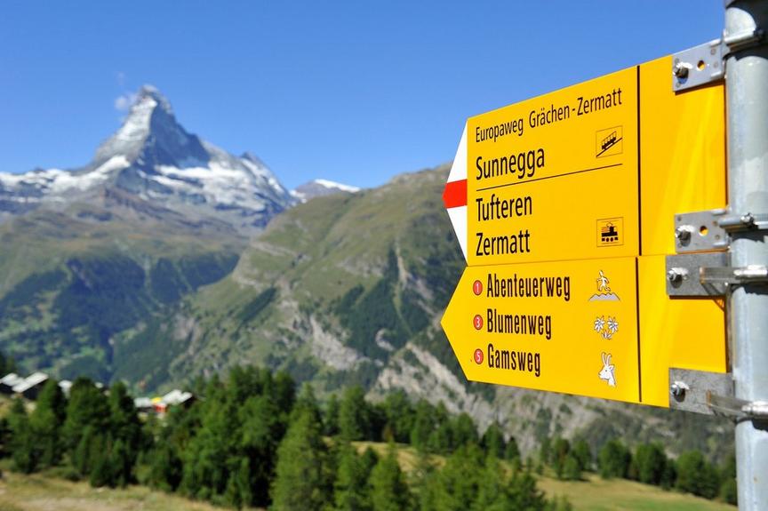
Hiking trailEasy
Panorama path Täsch (No. 43)
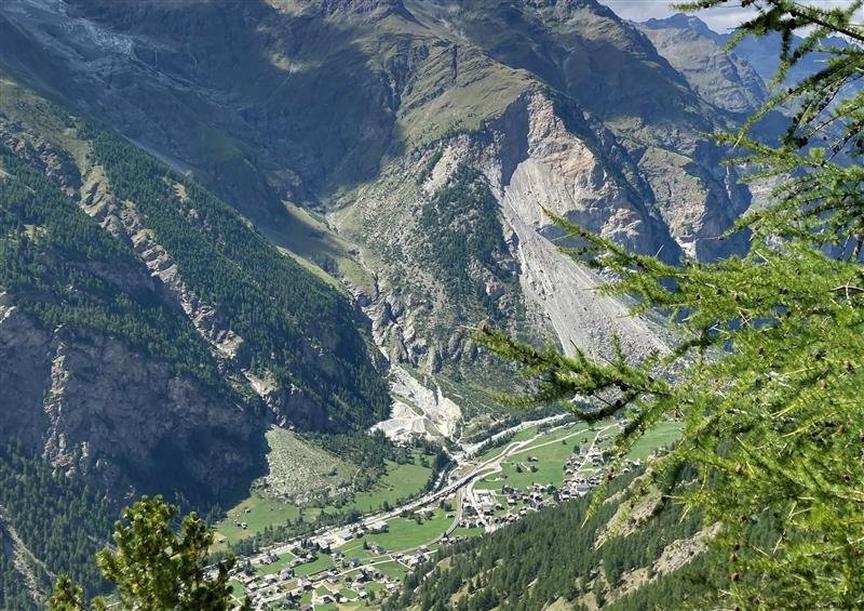
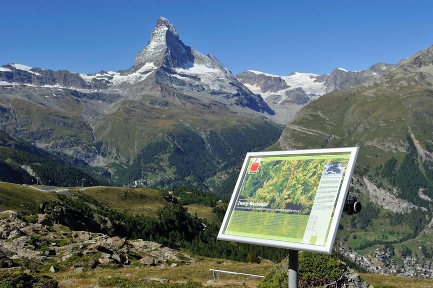
The panorama shows it: The valley floor is deep, the mountains all around are high. The view of Breithorn and Klein Matterhorn is fascinating. A good opportunity to take a closer look at the mountain forest.
Details
TypeCircular route
DifficultyEasy
Duration1 h 10 min
Distance2.9 km
Ascent47 m
Descent47 m
Lowest point1438 m
Highest point1486 m
Description
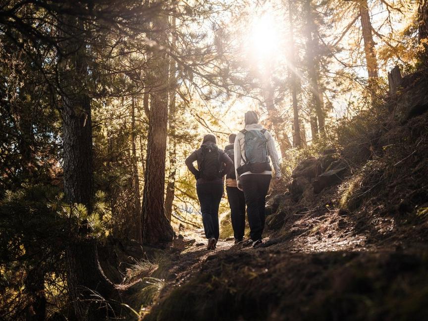
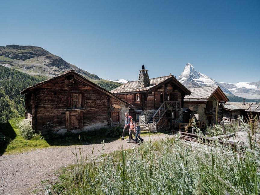
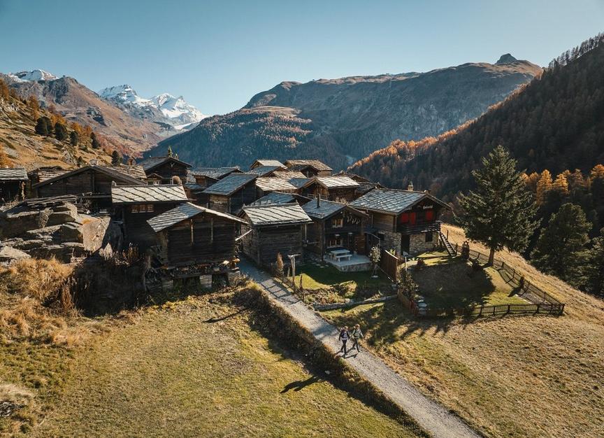
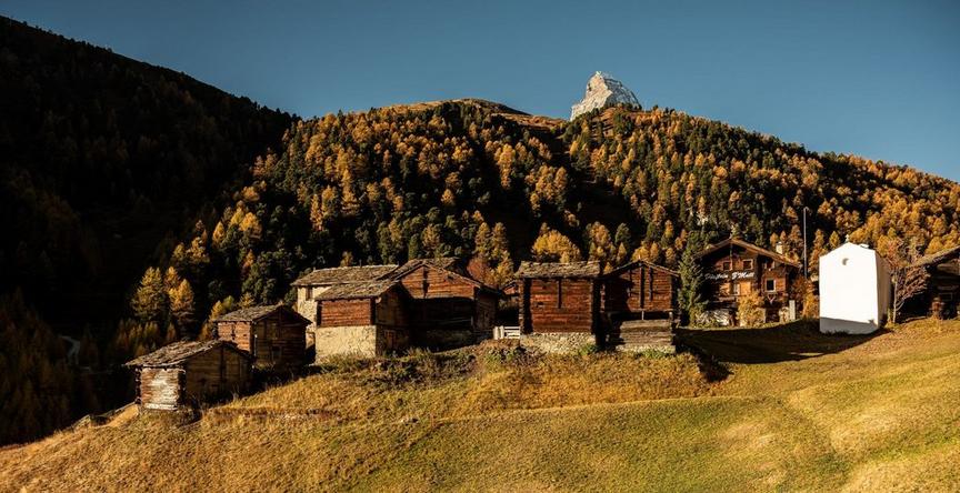
You pass old houses in the village. Then you warm up well on the relatively flat stretch until the climb in the mountain forest begins. But why run, when the forest invites you to discover its inhabitants. Who spots the first deer? Where do the squirrels chatter? Where does the nutcracker dig in the ground? Ideal for families.
- Wildlife area with deer
- Suitable for children from 6 years
- Mixed forest with Swiss stone pines and larches
Best season
Route
Rating
Map
You can find more information about ©Outdooractive tours by following the link below the map.
Properties
- Restaurants on the way
- Circular route
- Easy for walking with children
- Botanical highlights
- Cultural highlights
- Faunistic highlights
- Insider tip