Mountain Hiking TrailModerate
Matterhorn Trail (No. 29)
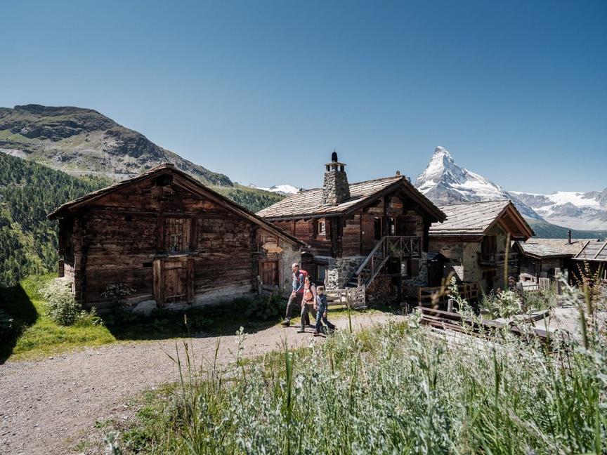
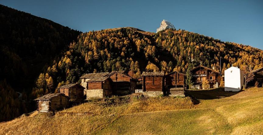
Impressive hike from Schwarzsee via Stafelalp to Furi, offering magnificent views of the Matterhorn. An alpine route where nature, the landscape, and the closeness to the mountain take centre stage.
Details
TypeRoute tour
DifficultyModerate
Duration2 h
Distance7.4 km
Ascent0 m
Descent746 m
Lowest point1841 m
Highest point2587 m
Description
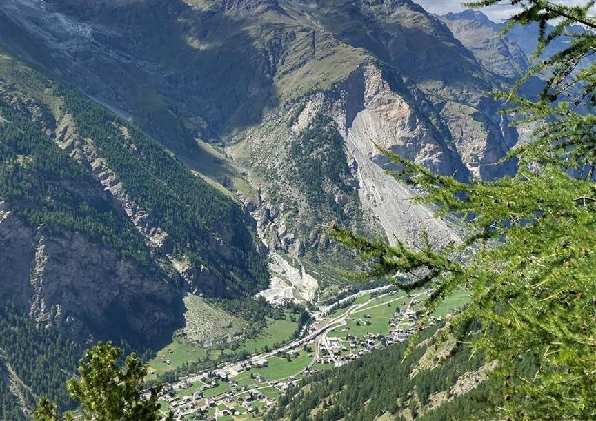
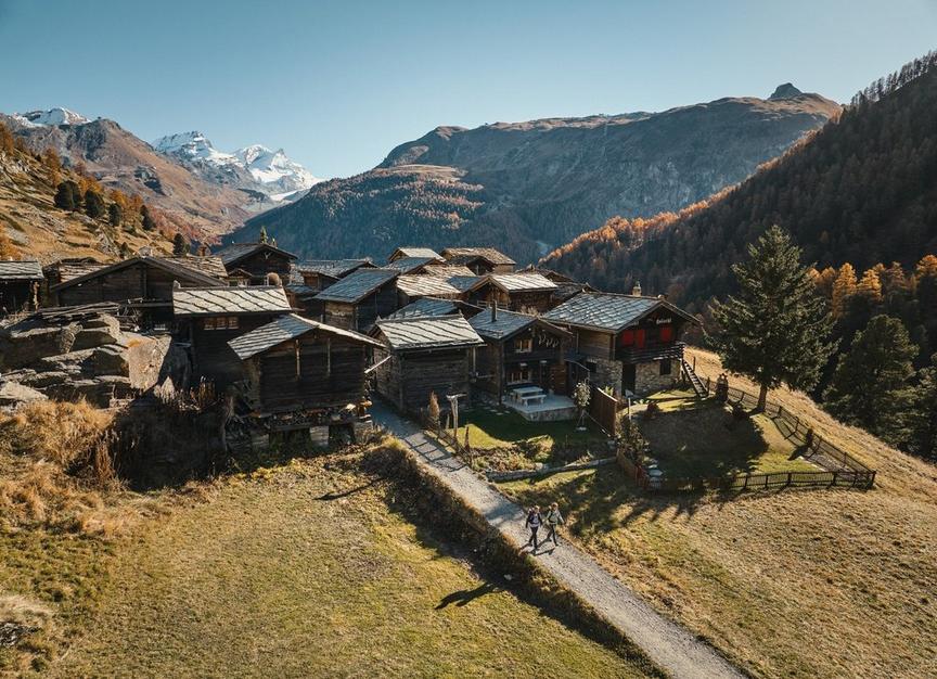
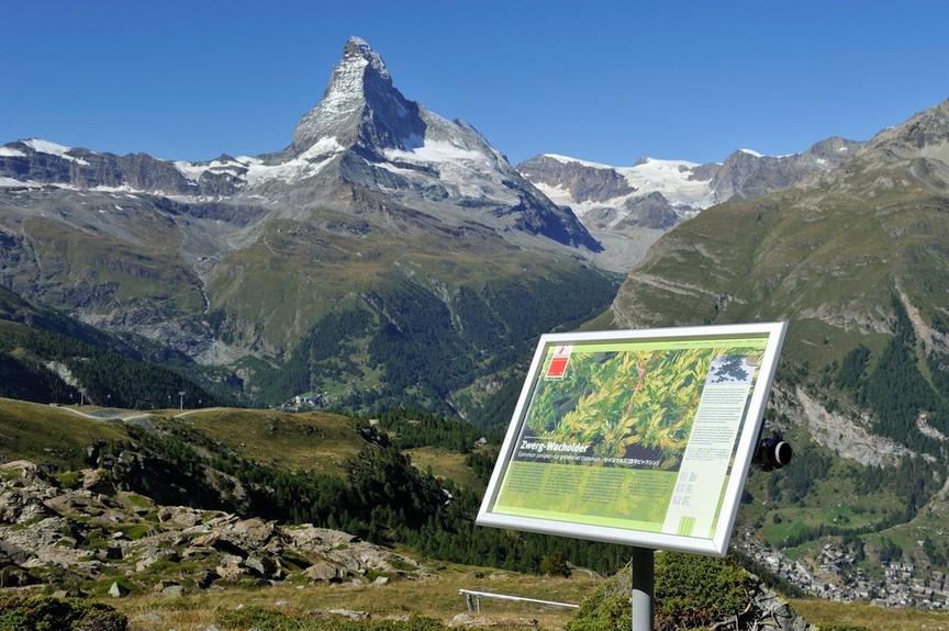
The hike begins at the chapel at Schwarzsee and leads through a quiet alpine landscape. Along the way, impressive views repeatedly open up of the Matterhorn, its north face, the opposite mountain walls around Höhbalmen, as well as the fascinating glacier world and the Dent Blanche.
- Panoramic views of the Matterhorn and the surrounding mountains
- Crossing of alpine meadows and lightly rocky terrain
- Possibility of wildlife observation, e.g. marmots or chamois
- Interesting alpine flora, including alpine roses and edelweiss
Best season
Route
Rating
Map
You can find more information about ©Outdooractive tours by following the link below the map.
Properties
- Restaurants on the way
- Route tour
- Nice views
- Geological highlights
- Botanical highlights
- Cultural highlights
- Faunistic highlights
- Insider tip