Multi-day tourDemanding
High path
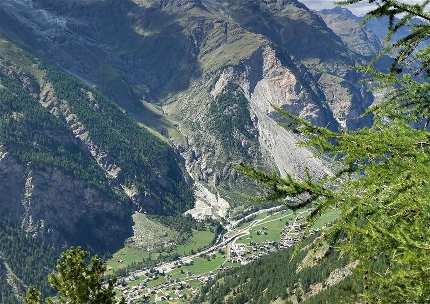
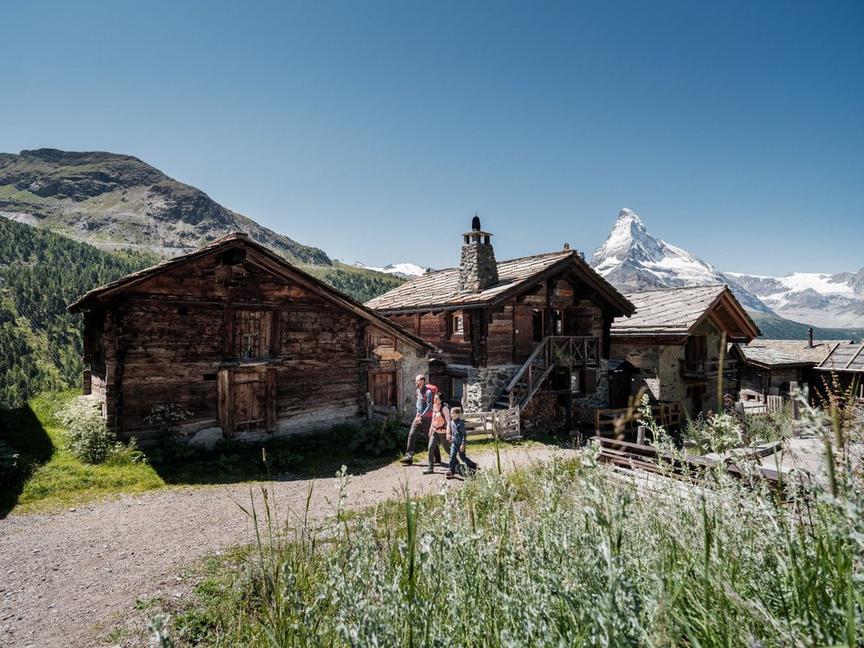
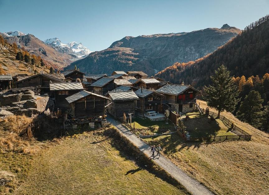
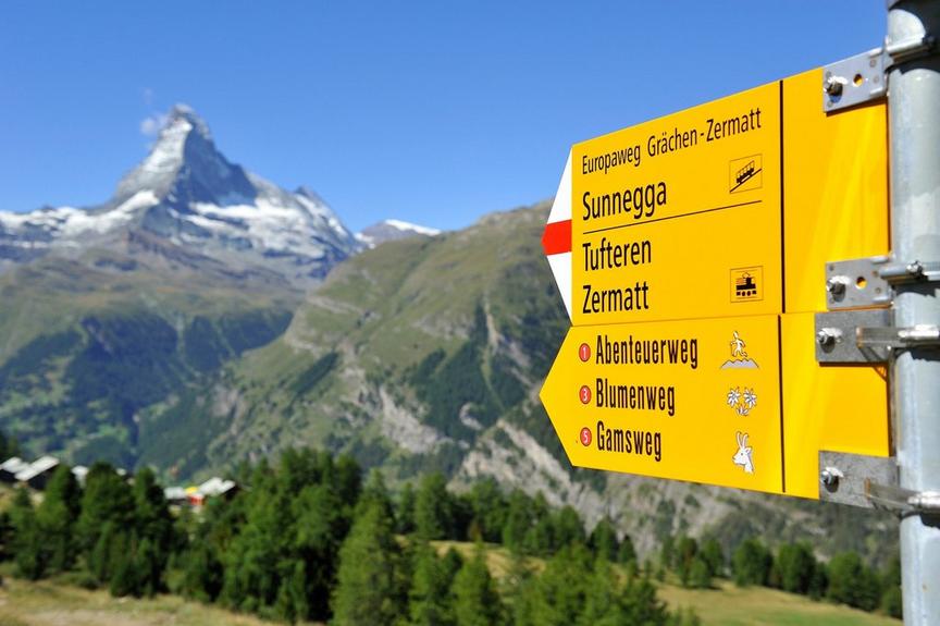
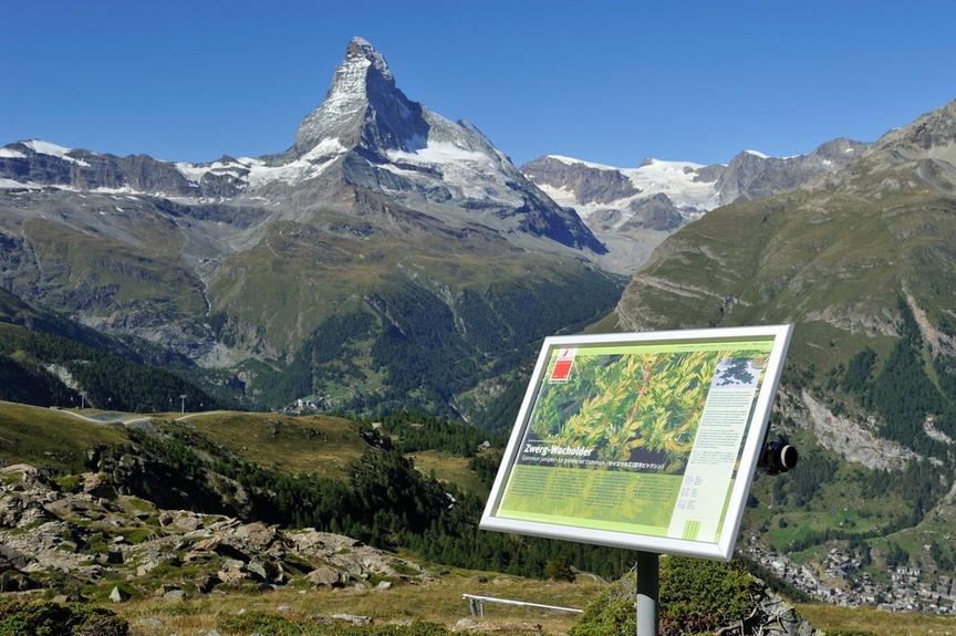
The high path leads to the most beautiful heights of the Zermatt mountain world. With highlights like alpine pastures and Gornergrat, where the view of the mountain world is endless.
Details
TypeRoute tour
DifficultyDemanding
Duration1 d 8 h 10 min
Distance89.3 km
Ascent5757 m
Descent5928 m
Lowest point1438 m
Highest point3159 m
Description
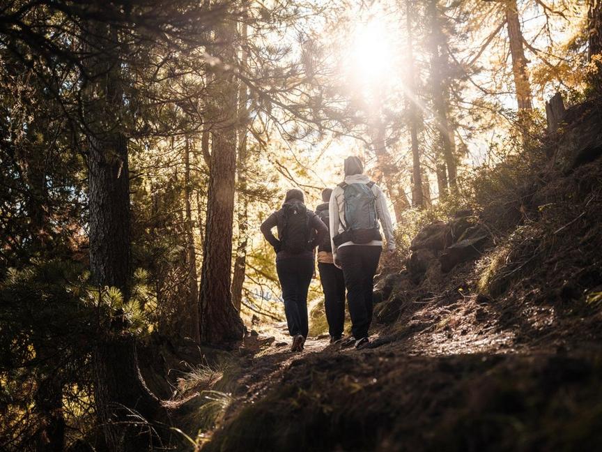
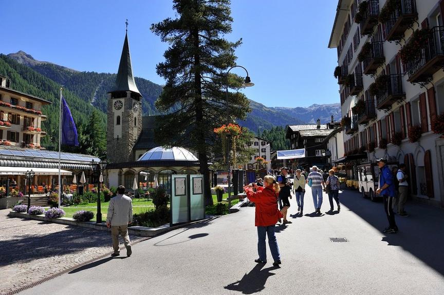
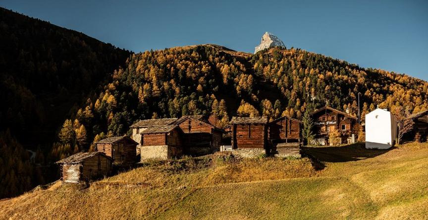
Zermatt – that is alpinism at the highest level. This hike goes onto the Zermatt balconies, over 35 hours on the trail. With overcoming around 7,000 meters in altitude up and down – this is a stage route with the highest experience value.
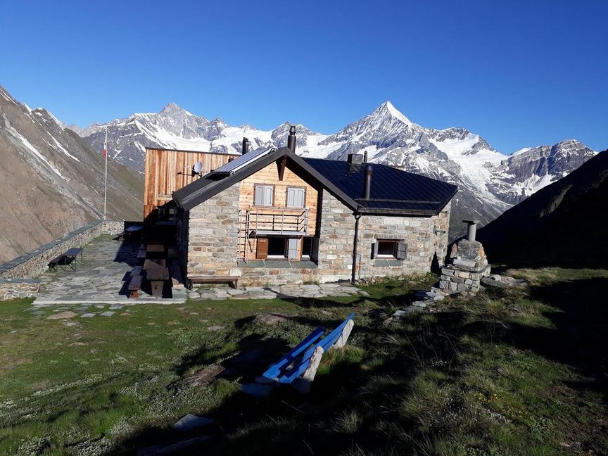
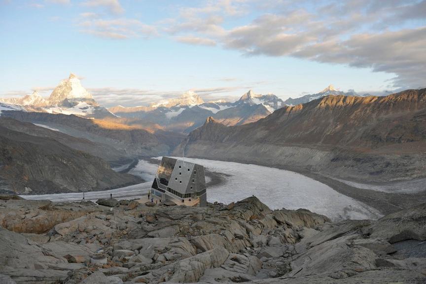
Where and when to stay overnight depends on the capacities and the hiker's desire. There is definitely a sufficient selection of hospitable mountain huts where the mountain adventure can be truly celebrated. The exciting thing is: the mountain landscape and the perspective on the surrounding four-thousanders changes continuously.
- View of the highest peaks in the Alpine region
- Photo subject: Matterhorn from different perspectives
- Photo subject: Monte Rosa massif from different perspectives
Best season
Route
Rating
Map
You can find more information about ©Outdooractive tours by following the link below the map.
Properties
- Restaurants on the way
- Route tour
- Nice views
- Geological highlights
- Botanical highlights
- Cultural highlights
- Faunistic highlights
- Insider tip