
Multi-day tourDemandingT3
Europaweg
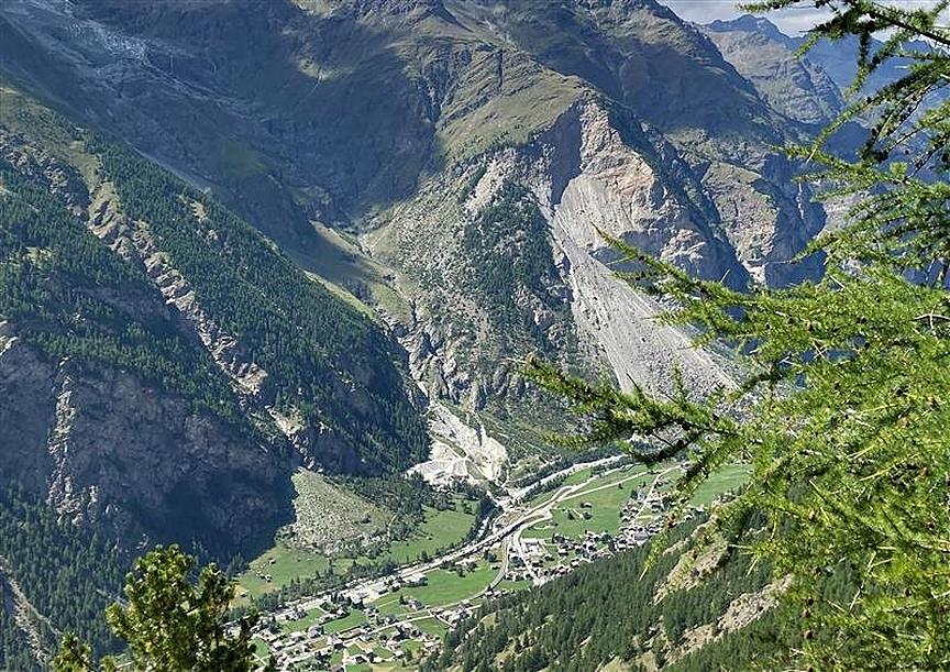
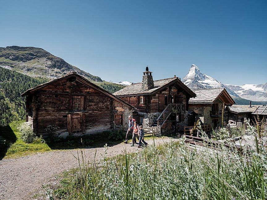
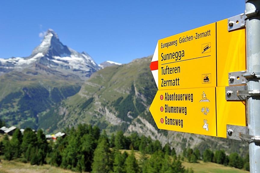
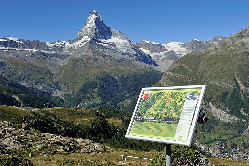
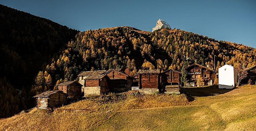
The Europaweg between Grächen and Zermatt is considered by some to be the most beautiful 2-day hike in the Alps. The view of the mountain panorama including the Matterhorn has made it famous worldwide.
Details
The Europaweg between Grächen and Zermatt is considered by some to be the most beautiful 2-day hike in the Alps. The view of the mountain panorama including the Matterhorn has made it famous worldwide.
Details
Description
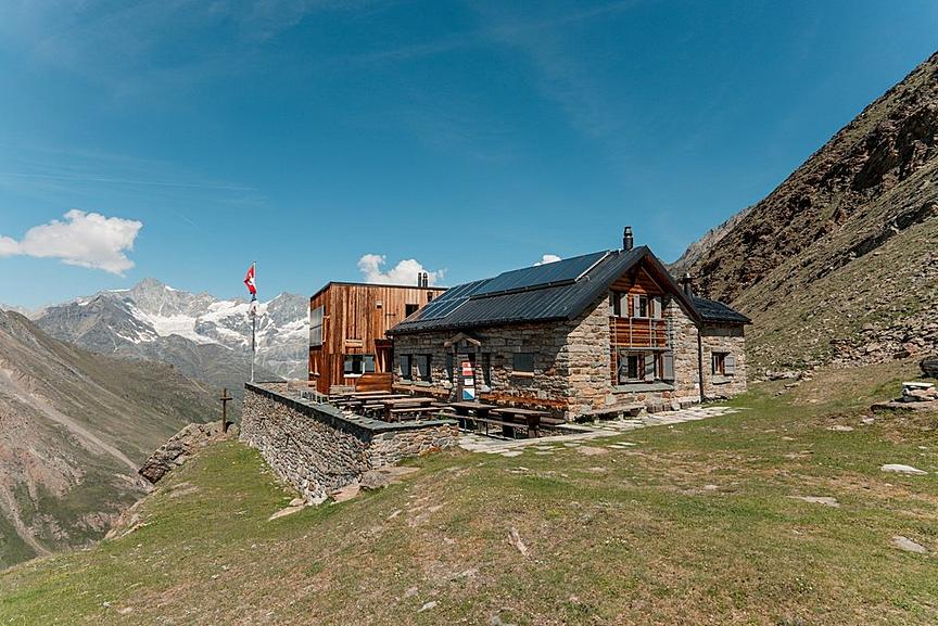
The breathtaking nature was used by the authorities of the municipalities of St. Niklaus, Grächen, Randa, Täsch and Zermatt in 1997 to create the Europaweg. In 2021, the first stage from Grächen was redesigned and now leads variably and spectacularly to the Europahütte above Randa. From there, it goes over the suspension bridge, the longest pedestrian suspension bridge in the Alps, which spans the Grabengufer. It is 494 m long and at the highest point you float 85 m above the abyss. Then it continues towards Täschalp and finally to Zermatt.
- Herbriggen: Intermediate stage location with hotel accommodation
- Webcam with a live view of the Charles Kuonen Suspension Bridge
Current notice:
The Europaweg between Grächen and Zermatt is partly passable. Due to closures in certain sections, we ask all hikers to observe the following information:
-
Closed trail section: Randa–Täsch: Springelboden–Eggenstadel
-
Detour: From Springelboden, follow the marked hiking trail via Attermenzen to Täsch. In Täsch, continue towards Täschalp. The regular route resumes there.
-
Taxi option: The longer detour does not have to be completed entirely on foot. From Attermenzen, a taxi can be booked to Täschalp. > Further information about the detour and taxi booking
Best season
Route
Rating
Map
You can find more information about ©Outdooractive tours by following the link below the map.
Properties
- Restaurants on the way
- Route tour
- Nice views
- Botanical highlights
- Cultural highlights
- Faunistic highlights
- Insider tip