Mountain Hiking TrailDemanding
Arigscheis (No. 41)
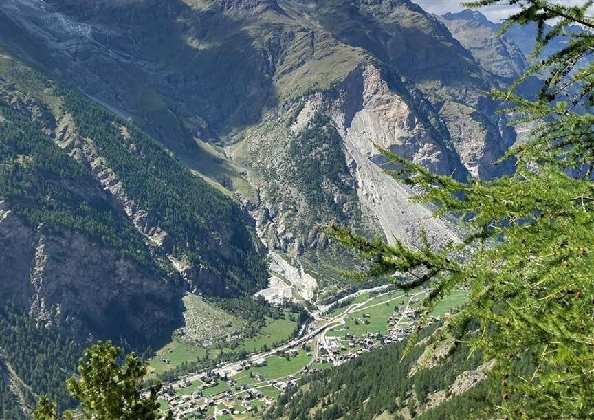
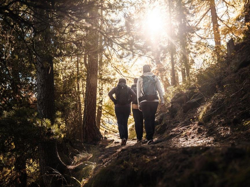
The hike in the forests above Täsch is quite steep. But the likelihood is high that wildlife can be observed here. Maybe even an eagle?
Details
TypeCircular route
DifficultyDemanding
Duration4 h 10 min
Distance9.4 km
Ascent826 m
Descent826 m
Lowest point1426 m
Highest point2247 m
The hike in the forests above Täsch is quite steep. But the likelihood is high that wildlife can be observed here. Maybe even an eagle?
Details
TypeCircular route
DifficultyDemanding
Duration4 h 10 min
Distance9.4 km
Ascent826 m
Descent826 m
Lowest point1426 m
Highest point2247 m
Description
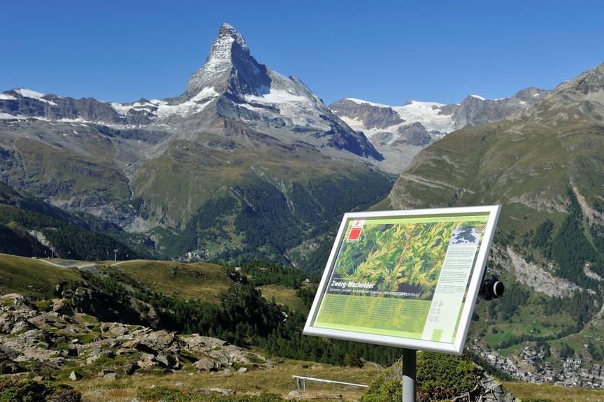
"Arigscheis" suggests that eagles have been sighted in this area. "Ari" means eagle in the local language. And Arigscheis points to a landing site, an eagle's nest, or a resting place for eagles. On this hike, the path runs at the foot of the Mettelhorn and the Aeschhorn.
- Metal ladder with holding ropes in the terrain (requires some surefootedness)
- Weisshorn, Täschhorn and Dom from an unusual perspective
- Wildlife (chamois, possibly deer in the lower area)
Best season
Route
Rating
Map
You can find more information about ©Outdooractive tours by following the link below the map.
Properties
- Restaurants on the way
- Circular route
- Nice views
- Botanical highlights
- Cultural highlights
- Faunistic highlights
- Insider tip