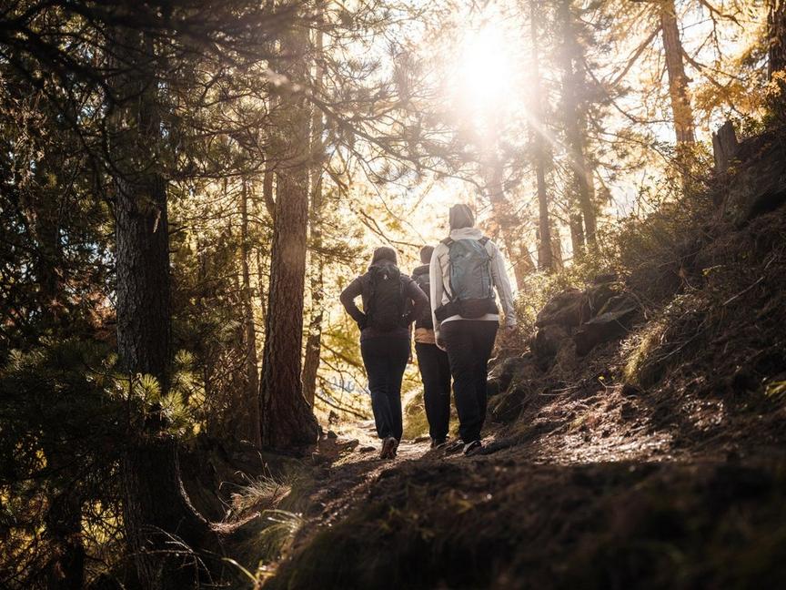
Mountain Hiking TrailDemanding
Adventure route (No. 1)
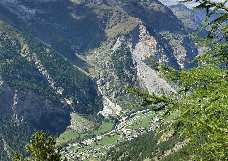
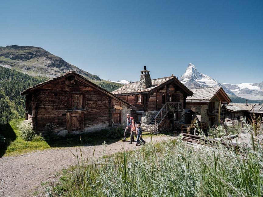
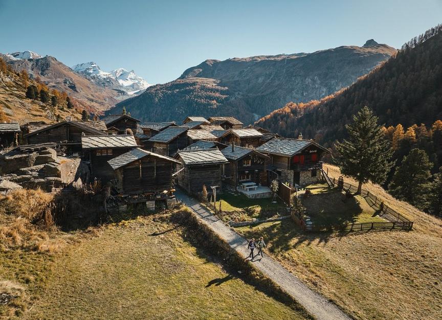
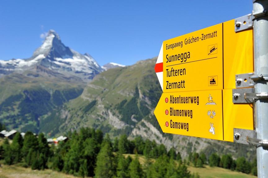
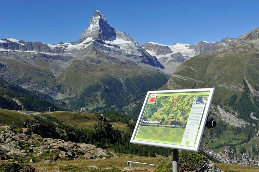
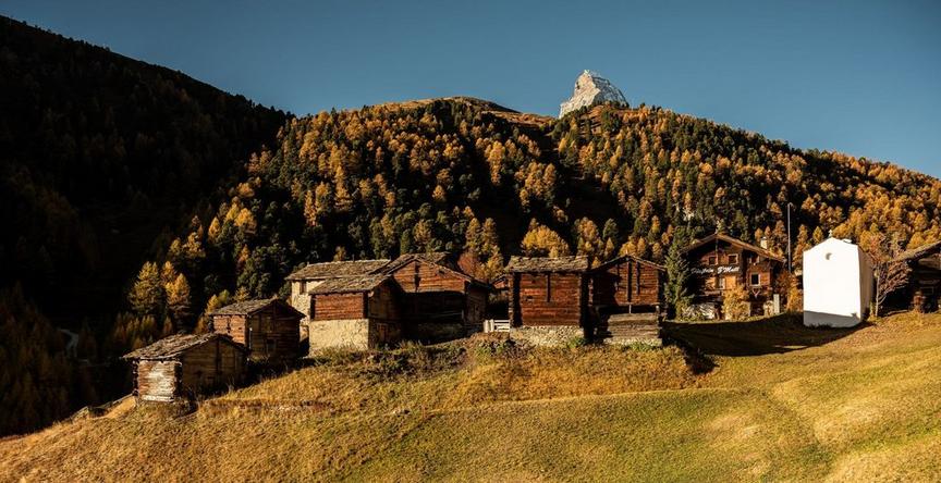
This steep hike is rewarded with the most beautiful views on two sides – on one side to the Alpine panorama with the mighty 4000-meter peaks, on the other side to the Zermatt valley basin as well as to a remote little valley.
Details
TypeRoute tour
DifficultyDemanding
Duration1 h 40 min
Distance4.3 km
Ascent0 m
Descent877 m
Lowest point2215 m
Highest point3092 m
Description
This route is adventurous. Over 4.1 km you overcome about 900 meters of elevation. That means it goes steeply downhill. Or uphill. Both are exciting. The view from Ritzengrat into the remote and lonely little Tufterkumme valley can hold surprises. Perhaps chamois are on the move.
The view of the Matterhorn, the Weisshorn and the other mountain giants is impressive.
Best season
Route
Rating
Map
You can find more information about ©Outdooractive tours by following the link below the map.
Properties
- Restaurants on the way
- Route tour
- Nice views
- Geological highlights
- Botanical highlights
- Cultural highlights
- Faunistic highlights
- Insider tip