Mountain bike tourDemanding
Bike route Täsch-Täschhütte (No. 25)
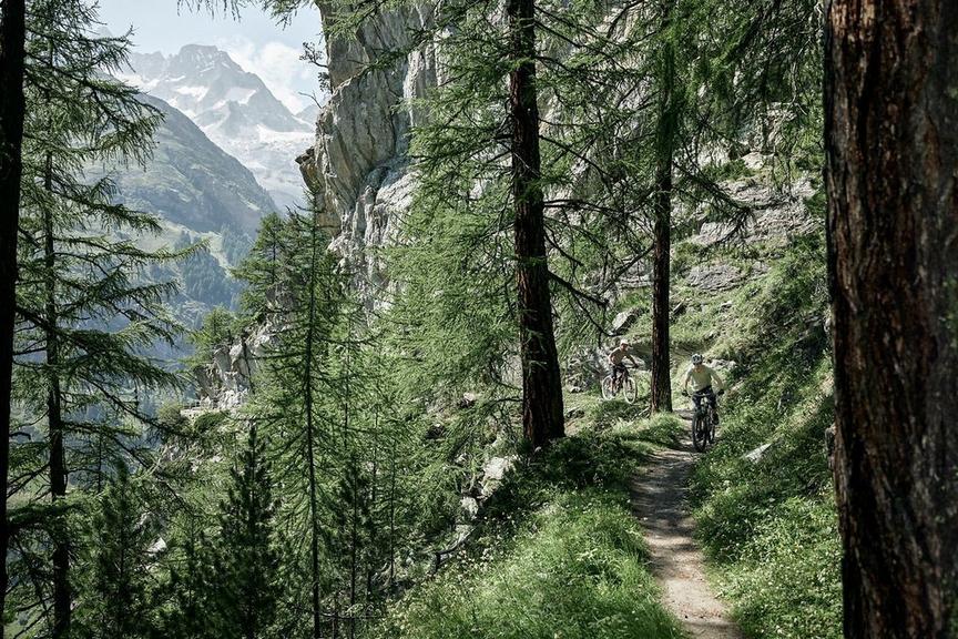
The ride to Täschalp and finally to the Täschhütte starts in Täsch. At the top awaits a particularly quiet and remote atmosphere in beautiful nature.
Details
TypeMountain bike tour
DifficultyDemanding
Duration3 h 36 min
Distance10.2 km
Ascent1269 m
Descent4 m
Lowest point1450 m
Highest point2701 m
The ride to Täschalp and finally to the Täschhütte starts in Täsch. At the top awaits a particularly quiet and remote atmosphere in beautiful nature.
Details
TypeMountain bike tour
DifficultyDemanding
Duration3 h 36 min
Distance10.2 km
Ascent1269 m
Descent4 m
Lowest point1450 m
Highest point2701 m
Description
From Täsch station, the route leads through the village and soon the ascent begins on the paved road. Most of the road to Täschalp winds through the forest.
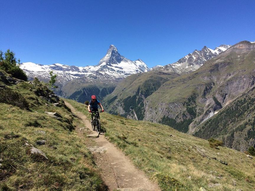
Täschalp is adorned with a few small huts and a photogenic chapel. The view of the Weisshorn on the opposite side of the valley is magnificent. The path continues, now very steep, up to the Täschhütte. During this ascent, you look down onto the plain around the originally meandering Mellichbach.
If you want to take it easy, you can use the Täschalp taxi service, which runs up to Täschalp. A reservation is absolutely necessary at the Täsch information office at the following number +41 (0) 27 966 81 10.
Best season
Route
Rating
Map
You can find more information about ©Outdooractive tours by following the link below the map.
Properties
- Restaurants on the way
- Route tour
- Nice views
- Geological highlights
- Botanical highlights
- Cultural highlights
- Faunistic highlights
- Insider tip